Mayfield Mines

A Mine Subsidence and Flooding Problem in Newcastle

  • News
  • About Us
  • Support Us
    • Join Our Team
  • Contact Us

Solving Mine Water Flooding in Mayfield Not in the Public Interest – Minister Courtney Houssos

June 9, 2025

According to the Minister Courtney Houssos (Minster for Nature Resources), the mine water flooding in Mayfield (and other suburbs) “does not affect public health or safety, nor does it affect the local environment“.

As per NSW Government goals, the primary objectives of the Legacy Mines Program are to:

  • reduce or eliminate risks to public health and safety;
  • reduce any impacts to the environment;
  • stabilise and prevent further degradation of legacy mine sites; and
  • remove or contain contamination at its source and prevent it from spreading.

The secondary objectives are;

  • detailed site assessments and preparation of remediation action plans
  • engineering design work
  • physical safety works (for example, fencing, grating or filling shafts)
  • erosion and sediment control works
  • management of acid mine drainage and contamination
  • stabilisation and revegetation of sites
  • monitoring and review remediation works

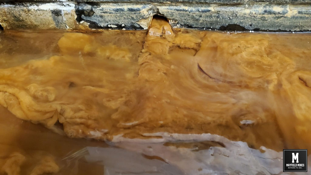
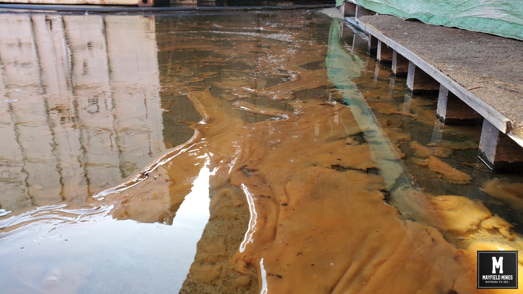
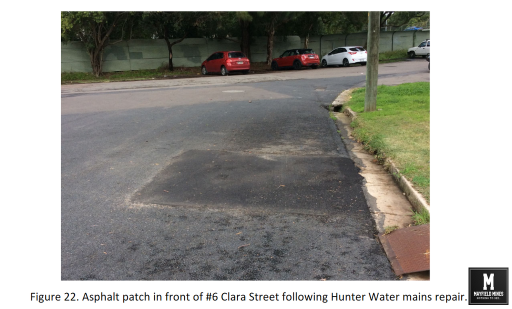
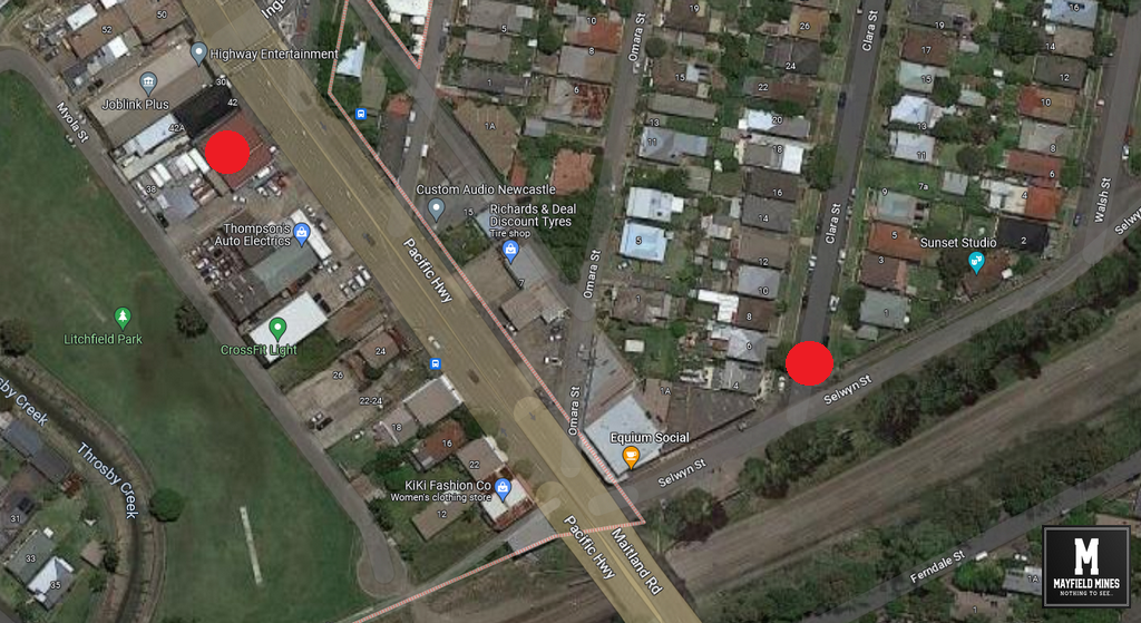
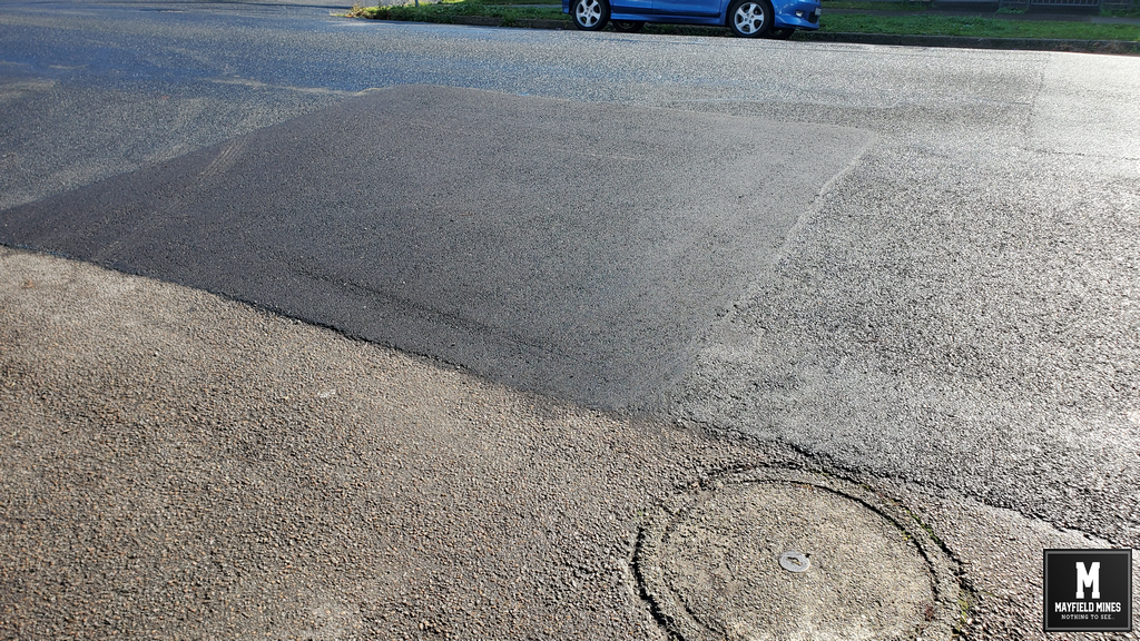
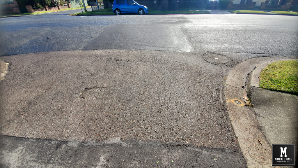
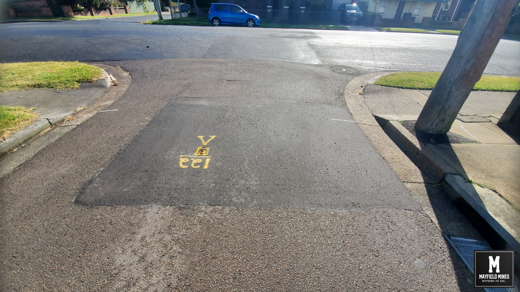
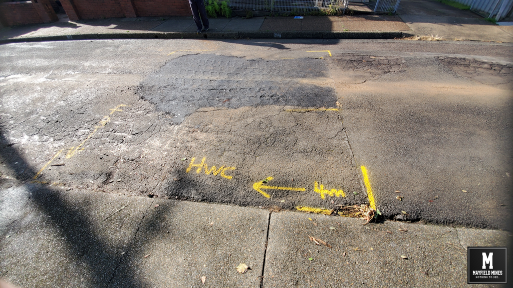
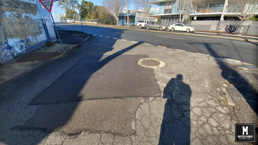
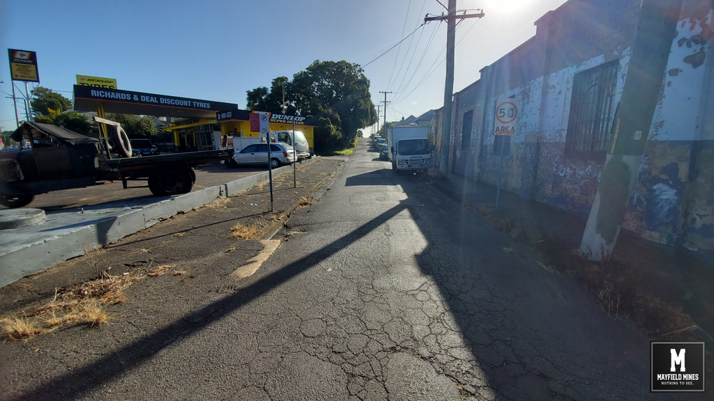
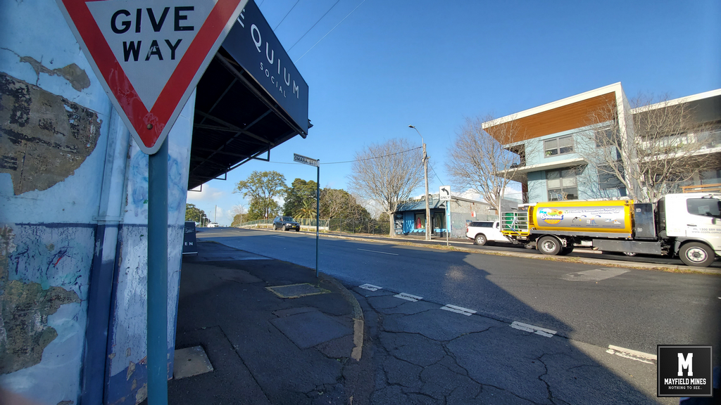
In 2020, a Legacy Mines report on “Groundwater Conditions at 38 Maitland Road Mayfield” exposed a network of abandoned mine working in Mayfield, which is causing subsidence damage to properties and government assets. That water from broken Hunter Water pipes are filling an already flooded mine system, which is then causing in the community including our properties. This mine water flooding is evident throughout Mayfield. During this Legacy Mine investigation, Subsidence Authority NSW withheld geotechnical information even though it had been asked many times by various government departments.  Whilst the Legacy Mines showed evidence that the problems were affecting the entire community, it was ignored.

Fast forward to 2025.

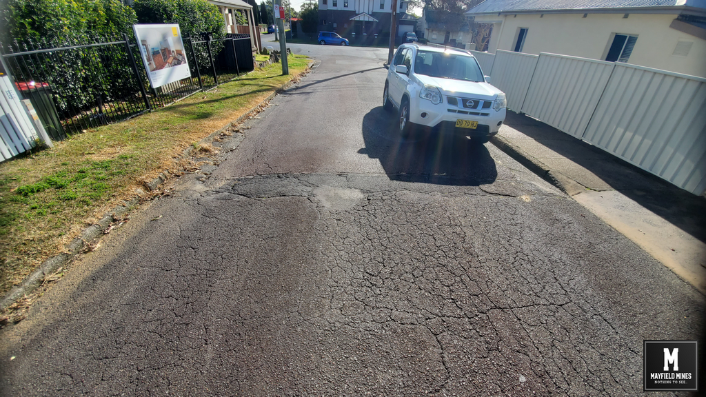
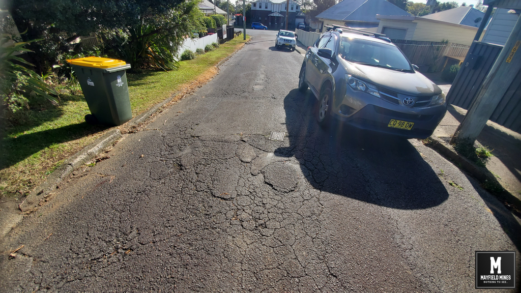
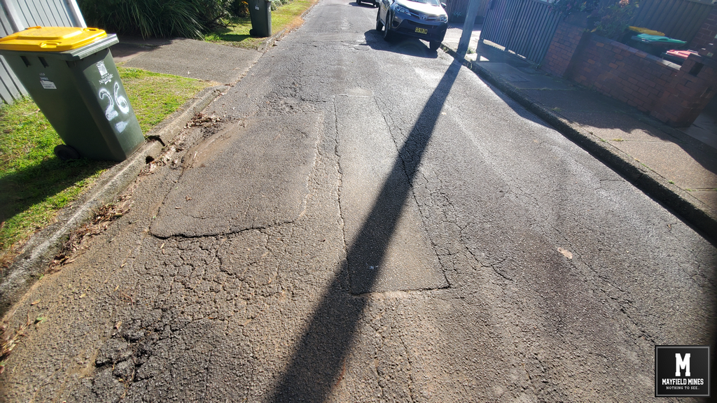
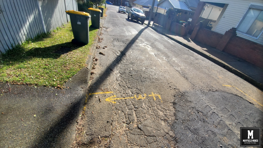
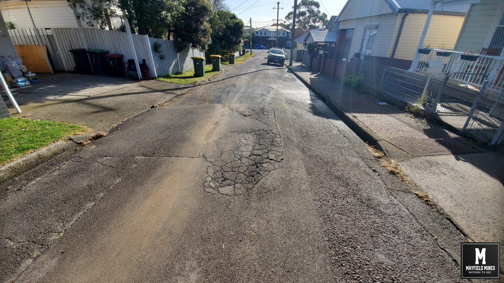
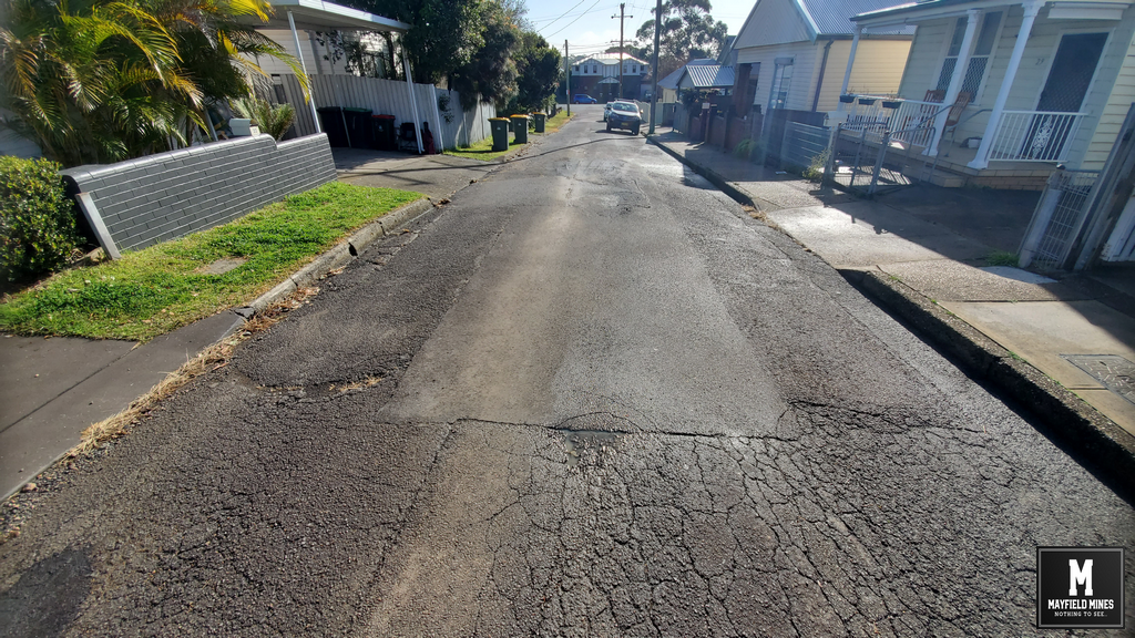
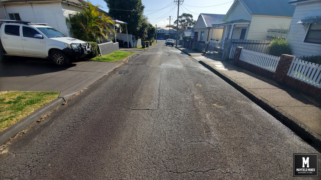
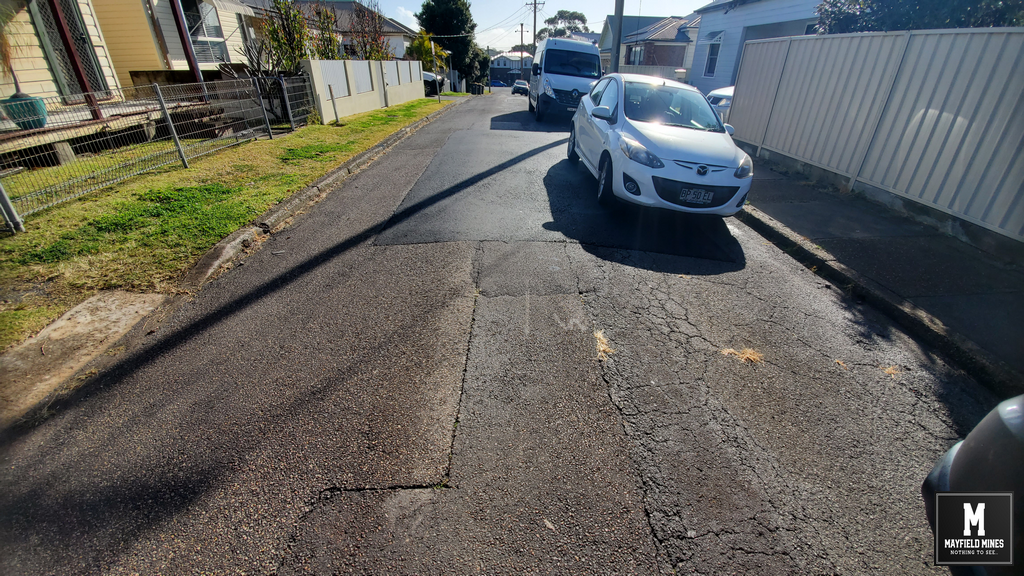
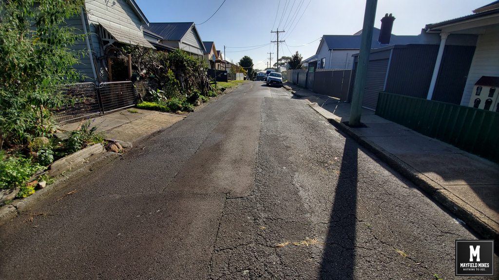
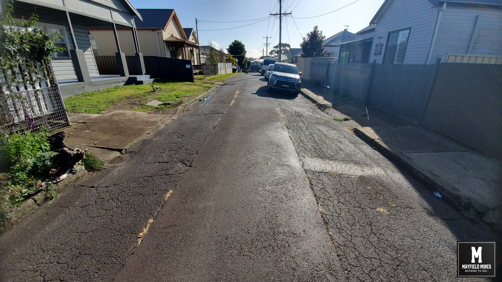
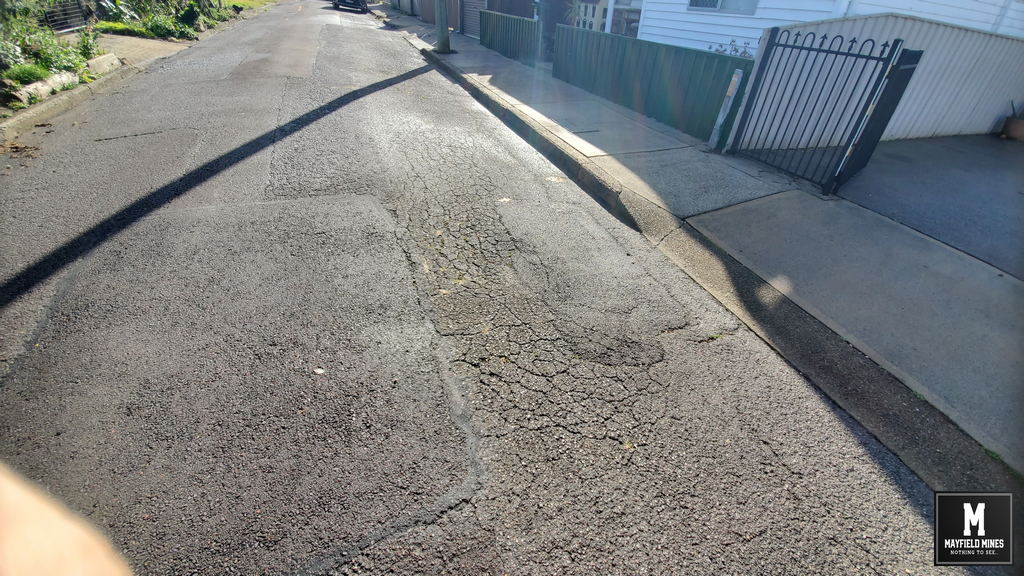
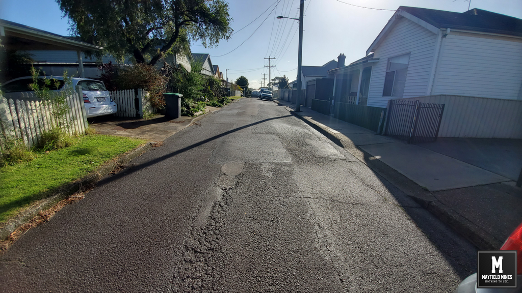
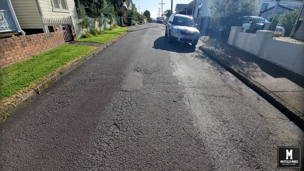
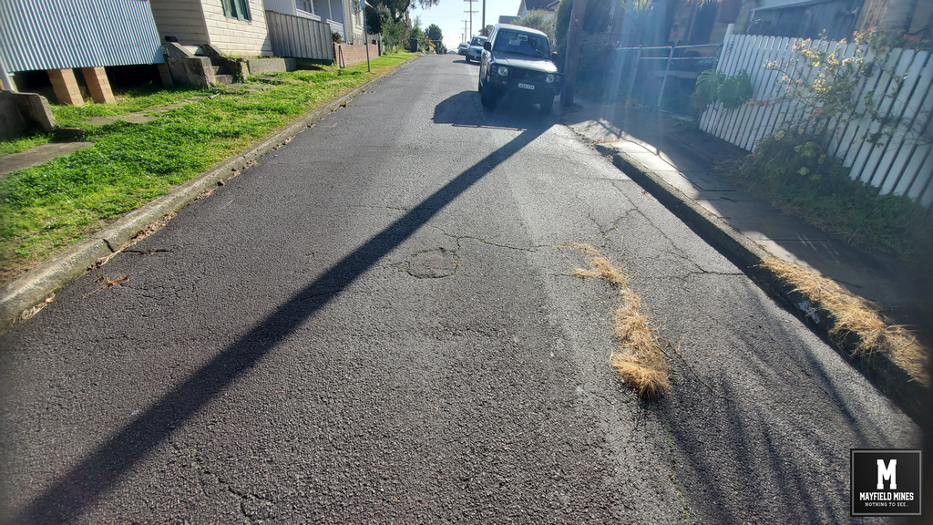
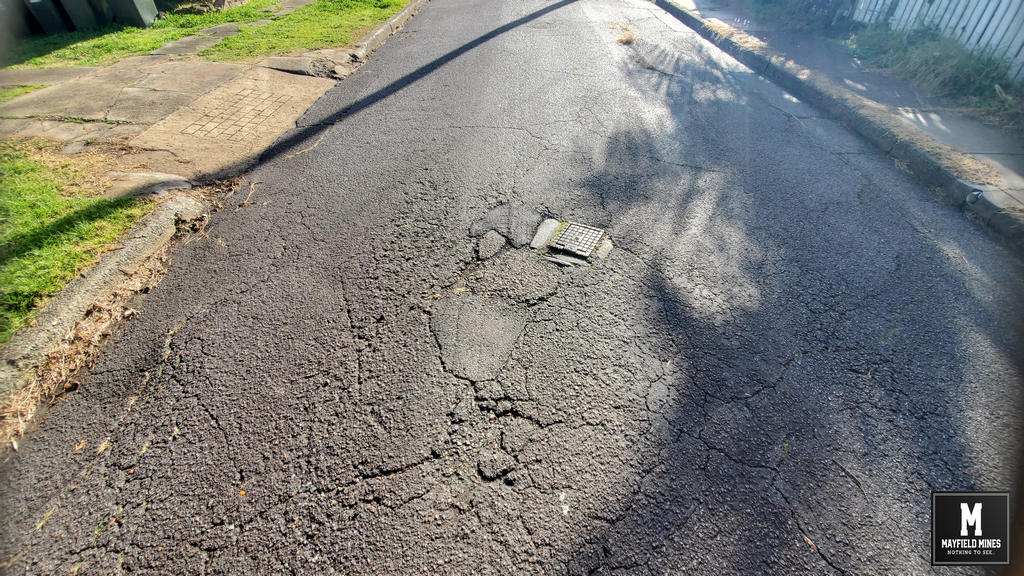
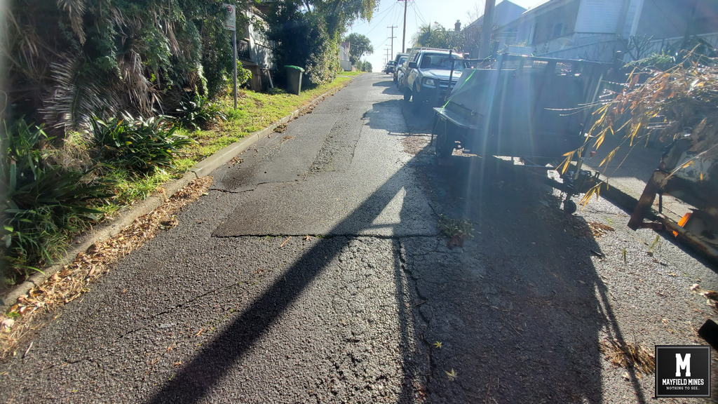
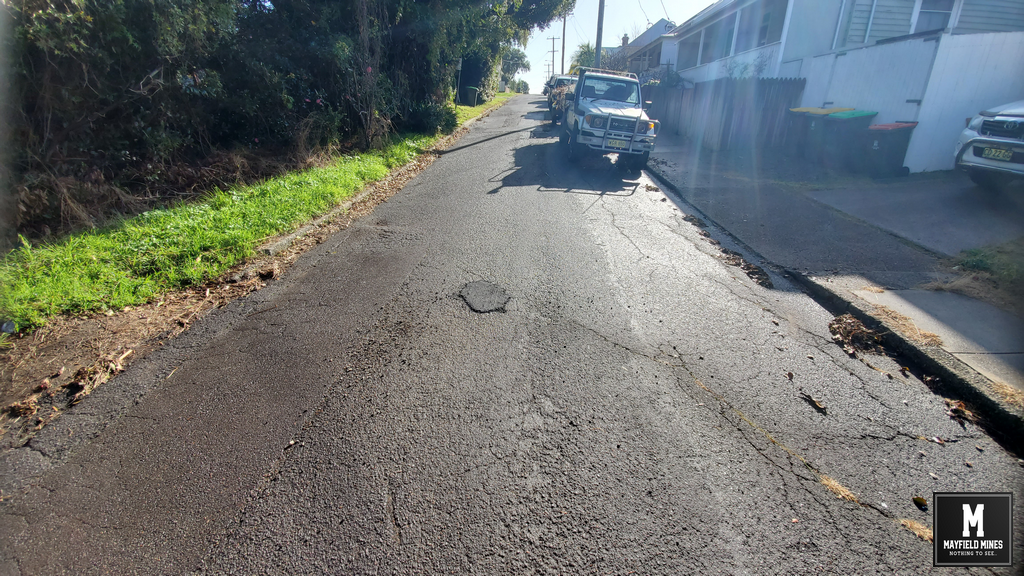
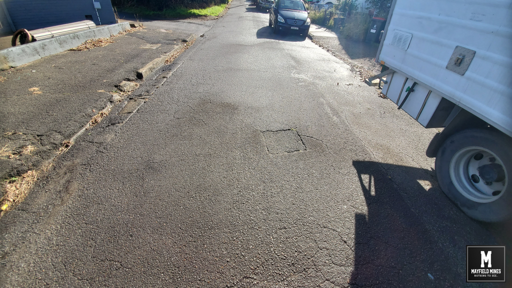
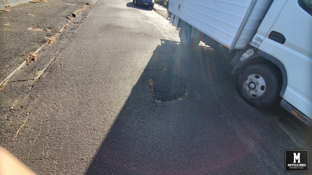
The problem of mine water flooding in abandoned mine workings cannot be hidden any longer. Neighbouring properties are now also pumping mine water out of their flooded properties, the footpath and roads are continuously subsiding and Litchfield Park is permanently flooded.

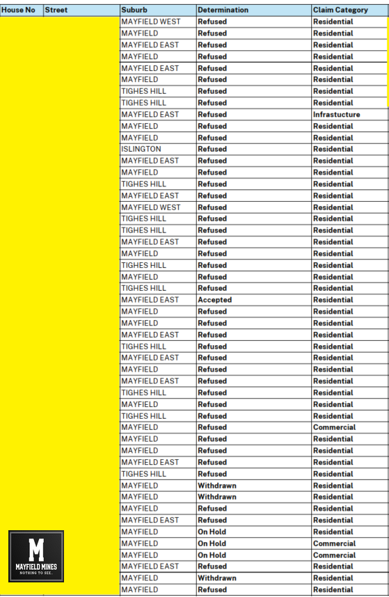
If the problem is widening, affecting multiple properties, causing damage to government assets, and spreading….how is this not in the public interest?

Litchfield Park May 2024

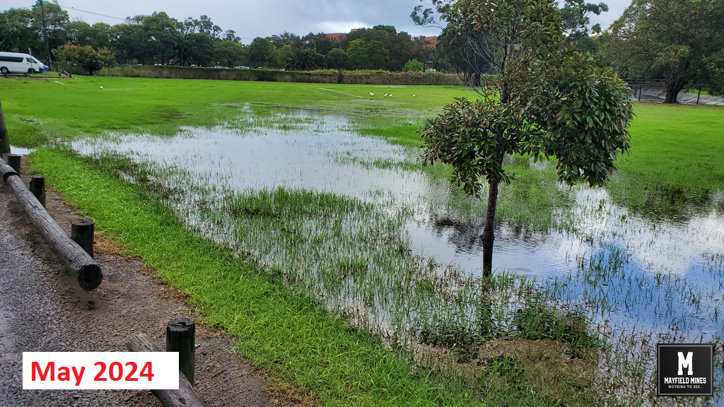
Litchfield Park May 2024 Flooding

Litchfield Park May 2025

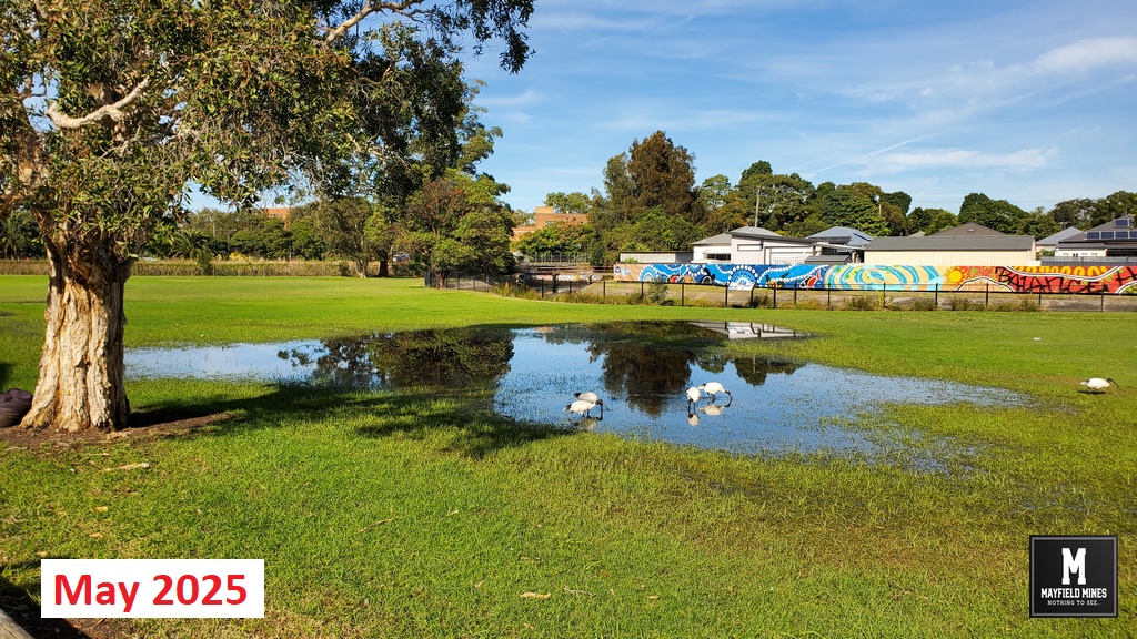
Litchfield Park May 2025 Flooding

Litchfield Park June 2024 2

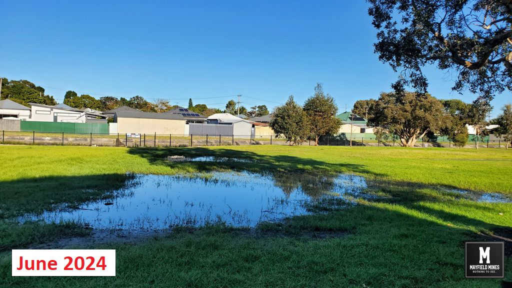
Litchfield Park June 2024 Flooding

Litchfield Park June 2025

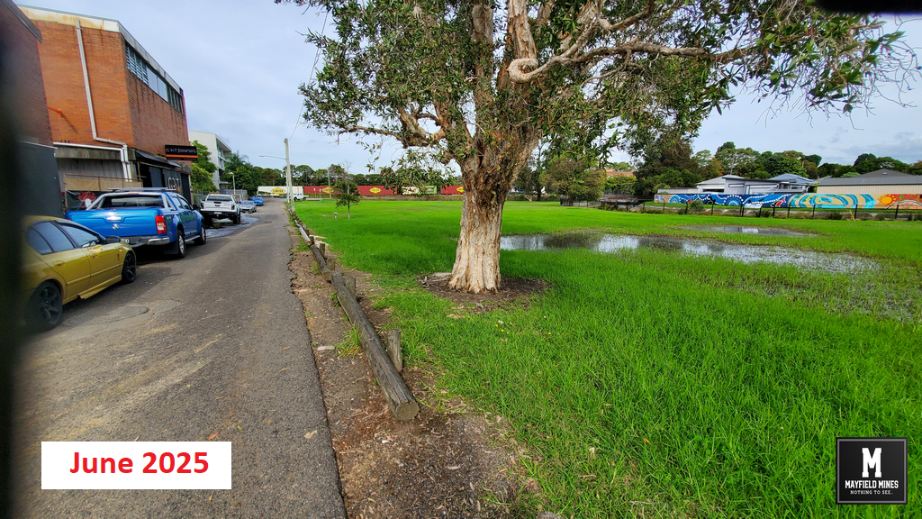
Litchfield Park June 2025 Flooding

Filed Under: Legacy Mines NSW, Newcastle City Council, NSW Government, Uncategorized

Legacy Mines NSW Not Responsible for Mine Water Flooding?

June 9, 2025

We contact Legacy Mines on 16th October 2019, and asked for help but we are ignored. In December 2019, mine water has found its way to the ground floor of 44 Maitland Road flooding the entire floor and closing our office. Its been two months waiting for Legacy Mines to make a site inspection, they are not coming.

After the flooding of our office, we again contacted Legacy Mines and talked with Nick Staheyeff (Manager Legacy Mines, Department of Planning) who informs us that he does not believe our problem is within their charter.

So who is responsible for mine water coming out of abandoned mines and flooding properties?

It seems no one.

Mine Water Office

Mine Water Office


Filed Under: Legacy Mines NSW, Mine Subsidency Advisory NSW, Uncategorized

Mines in Mayfield – Yes

December 9, 2024

Mines in Mayfield…yes.

We still have people telling us that there was never mining in Mayfield. Whilst the mine network was dominated by Ferndale Colliery there was up to twenty smaller collieries mining in the Mayfield and Tighes Hill region. Below is a short extract from reports at the time.

“….spirited rivalry or competition seems to have existed among the conterminous small collieries as to which could work the greatest area of coal from under this important thoroughfare.

No restrictions seem to have been imposed on the workers. In consequence, this road has been honeycombed with workings for a considerable distance, and is at present supported by pillars so thin as to be almost invisible.

It is alleged by the owners of Ferndale that they left a sufficient barrier of solid coal around each of the small collieries shown on plan, No. 1 Appendix, but that this barrier, as well as the top-coal, and as many of the pillars as could be got at, were removed by these small owners; and in this manner – and by reason of their own thoughtless cupidity – the twenty small collieries, or thereabout, on this ridge have been communicated with each other. As a result of these inter-communications, when Ferndale was inundated the whole of these collieries were filled with water.”

We understand that a number of government agencies are following Mayfield Mines – for your reference, mining did occur in Mayfield.

Here is the link for the Royal Commission on Collieries Report (Ferndale Colliery) 1886.


Royal Commission Ferndale Mine 1886

Royal Commission Ferndale Mine 1886

Filed Under: Legacy Mines NSW, Mine Subsidency Advisory NSW

Subsidence Advisory NSW Withholding Information – Just the Facts

October 23, 2024

“Subsidence Advisory NSW is the NSW Government agency responsible for supporting property owners living in areas where subsidence from underground coal mining may occur.”

Since our last posts 12 months ago, new information has emerged that Subsidence Authority NSW has purposely withheld information from us.

Just the facts;

  • In 1886, a network of mine workings were interconnected, flooded and abandoned in our region. This land was then sold to the public, with services built over the abandoned mine network.
  • Over 15 years ago, water and subsidence damage started occurring in our property, later spreading to other properties.
  • Subsidence Advisory informed us that there are no mines underneath our property. Government agencies are using this information.
  • Our subsidence and mine water flooding has been allocated as a Legacy Mines problem. Over these years, various agencies believe water from stormwater and Hunter Water assets are finding their way into our properties.
  • During a Legacy Mines Report in 2020 (commissioned by the NSW Deputy Premier), via Freedom of Information documents, we found that Subsidence Authority withheld mine map information resulting in the consultants to use 1886 mine map data and not the most recent geo-referenced mine maps.
  • In March 2023, we requested Subsidence Authority to meet with us as there is conflicting information. After being delayed for months, we were told we needed to lodge new mine subsidence claims. These were lodged in June 2023.
  • Due to ongoing lack of support from Subsidence Authority, in May 2023 we applied for mine maps beneath our property via the NSW Resource Regulator. In August 2024, we received these maps which show multiple abandoned mine workings beneath our buildings. We understand that Subsidence Authority delayed the release of these maps.
  • In order to receive these geo-referenced mine maps, we needed to sign a non disclosure agreement that last for 50 years. Therefore we cannot show you the full extent of the evidence.
  • These current geo-reference street mine maps show a network of abandoned mines that are interconnected, from Mounter Street to under our buildings. The maps show direct correlation between subsidence and mine water flooding in our buildings and neighbouring streets.
  • Since the lodgement of the June 2023 subsidence claims – Subsidence Authority has avoided sharing information, visiting the sites, or meeting with us.

Is the NSW government through its agencies, taking all steps possible to hide the truth and bankrupt us?


Subsidence Authority Mayfield Claims

Subsidence Authority Mayfield Region Claim Outcomes

Filed Under: Legacy Mines NSW, Mine Subsidency Advisory NSW, NSW Government

Legacy Mine Maps for Mayfield Have Been Received

September 5, 2024

After 15 months of lobbying the NSW government, we have finally received the geo-referenced abandoned “legacy” mine maps. We now have direct correlation between the location of the abandoned mine network with over 100 instances of subsidence damage in our properties.

Water flowing “randomly” from under the footpath and into our properties (and others along the street) can be directly connected to the abandoned mines. In these 15 months, 25,000,000 litres have flowed through our properties. The water has permanently flooded Litchfield Park as well as other property owners.

Subsidence and sink holes around Maitland Road now can be fully attributed to the old mine workings. These sink holes have been previously “signed off” by Newcastle Council being caused by termites eating a 1968 telegraph pole. Even though the holes have moved up and down the street, Newcastle Council still maintain its termites causing the troubles. Oh, and they continue to handle street subsidence and sinkhole repairs.

It’s time for property owners in Newcastle to be able to obtain current geo-referenced mine maps on their own property, not a foggy “zone of influence” statement. For more than a decade, Subsidence Advisory has withheld information from us. Even though NSW Government agencies have acknowledged our problems, and understand that our properties/businesses have been destroyed, they have continued to keep silent.

We have collected extensive information in Tighes Hill, Mayfield, Carrington and other suburbs in Newcastle thanks to the support of local home and business owners. Shortly we will start a public campaign and hope you can work with us to bring changes to the way old mine workings are handled in Newcastle and NSW.

38 Maitland Road Subsidence Damage Repair

38 Maitland Road Subsidence Damage Repair


mine water 38 Maitland Road Mayfield Carpark

mine water 38 Maitland Road Mayfield Carpark


Maitland Road Mine Subsidence Damage 04

Maitland Road Mine Subsidence Damage

Filed Under: Legacy Mines NSW, Mine Subsidency Advisory NSW

Broken Hunter Water Pipes on Ingall Street direct Correlation in Water Flows in Office

July 24, 2023

If you have been following our problem on mayfieldmines.com, you would understand that the abandoned mine network in Mayfield is full of water, and everytime extra water enters the network, it pushes the water out from mines under Maitland Road into our buildings.

In 2020, a Legacy Mines NSW Report suggested broken Hunter Water pipes on Clara Street Mayfield were a significant factor in water flows into our buildings. During their 4 month investigation, Legacy Mines were taking regular water readings inside the abandoned mines. Legacy Mines drilled a bore on Clara Street as part of their investigation. During their work they noticed that the street had recently been repaired, and after investigation, they found that a garbage truck has subsidence on the street exposing a Hunter Water leaking water pipe. After the pipe was repaired, the water flow significantly dropped.

Clara Street - Hunter Water Repair

Clara Street – Hunter Water Repair


Professor Fityus suggested that water from broken pipes  is entering the abandoned mine network and flowing into our properties. He wrote;

Comparison of the date of the repair with the seepage flow data reveals a perfect coincidence between the date that the repair was made and the data that the seepage rate made a sudden reversal and began to decline rapidly. To assess the plausibility that the leaking main could be the primary driver of seepage flows in thehttps://www.mayfieldmines.com/broken-hunter-water-pipes-ingall-street-direct-correlation-water-flows-office/?preview=true area, the dial before you dig service was used to ascertain the nature of the water mains in Clara Street. It determined that the pipe was an old style cast iron, concrete lined pipe, approximately 80mm in diameter, and connected to a larger main at either end.

Based on the water pressure in the area and the length and internal diameter of this pipeline at the location of the break, it is estimated that when intact, the flow through the pipe might be quite low most of the time, and probably less than 60 litres/minute in most circumstances. However, if there is a complete break, and the break is supplied with water from both directions, the maximum flow in this pipe could be in the order of 600 to 1000 litres/minute. If the break is not complete, such as in the case of a leaking joint or corrosion hole, then the flow will be less than it is for a complete break, but it depends on how big the hole is. It is plausible, however, that the pipe could be leaking as much as several tens of litres per minute (enough to feed the observed seepages at #38 ‐ #44), without there being a noticeable effect on the local supply or the water leaving the supply system; that is, it could occur un‐noticed for an indefinite period of time.

Upon inspecting the site of the repair 2 days later, there was no evidence of any muddy outwash from the site of the break, however traces of clean construction sand were still evident around the margins of the hole, suggesting that water from the leaking pipe was lost into the ground and did not produce significant volumes of outwash at the surface.


Clara Street - Hunter Water Repair - Water Flow

Clara Street – Hunter Water Repair – Water Flow


In July 2023, there are many broken Hunter Water pipes in Mayfield East which are directly opposite our buildings. Recently, the MP for Newcastle, Tim Crakanthorp asked Hunter Water water to investigate the increased water flow into our premises that has resulted in new water locations within the internal buildings (here and here). Hunter Water found a number of broken assets. In this video, we show another example of direct correlation between water running and slowing/stopping in one of our buildings – this time, broken Hunter Water pipes along Ingall Street which we believing were feeding extra water into the abandoned mines, with water then flowing into our meeting room on the ground floor of 44 Maitland Road Mayfield. Once Hunter Water repaired the Ingall Street broken Hunter Water pipe, water stopped flowing from the wall cavity.

Filed Under: Hunter Water, Legacy Mines NSW, Mine Subsidency Advisory NSW, Newcastle City Council, NSW Government

Water is Flowing Harder in our Buildings

July 19, 2023

As we keep finding broken pipes along streets opposite us (here and here), water flows more strongly into our properties. Tonight, this is the water flow coming out of our meeting room wall in our office.

Filed Under: Hunter Water, Legacy Mines NSW, Newcastle City Council

Why are Old Legacy Mine Maps Kept from the Public?

July 19, 2023

Are old legacy mine maps kept from the public so that people do not fully understand they are in a mine subsidence district, or to minimise the amount of claims registered by home owners. During our discussions with home owners in our area, we found that many did not know that their properties were beneath a mine so they never fully understood why their wall was cracking or the garage subsiding. Then we also have owners who told us they applied for subsidence damage, only to be told they are not in the “zone of influence”. Lastly, we also have the situation on hiding the true costs of constantly repairing subsidence damage.

In areas such as Mayfield, we need an open and frank discussion about the waste of money and resources that relate to the old legacy mines, particularly;

  • legacy mine maps to be added to the https://www.planningportal.nsw.gov.au/spatialviewer/ website allowing homeowners to receive information about the old legacy mines that would include the year of mining, the map of the mining including depths/etc and any remedial work that has been completed. Since many of the maps date back to the 1800s, a non-guarantee in accuracy would be agreed to by users – we all use it as “best guide” but not 100% accurate
  • open and public record of mine subsidence claims. If people are worried about privacy concerns, then at least the street name, total claims, and total houses should be listed.
  • cross referencing with agencies such as Newcastle Council (road, kerb, stormwater, etc..) repairs, together with Hunter Water (pipe repairs) should be help with Subsidence Advisory for action plans to solve hot spots.

It seems to us that by keeping information secret from the public, Subsidence Advisory does not disclose the true cost of constantly repairing people’s homes, or roads, etc… And there is no public accountability for the costs to keep repairing public roads, sewer, Hunter Water pipes, stormwater etc…. in mine subsidence districts.

Its our money. Beside the issues on our properties, when we started looking at the overall management of legacy abandoned mines in the Mayfield and Newcastle area, we found a big problem where no agencies talk with each other, and all just handle the very minimum work needed to solve “today’s” problem. So when you look at streets which have 30+ repairs, or the same pipe system being repaired year after year, at what point should one of these government bodies take some responsibility?

Mine Subsidence Mayfield

Mine Subsidence Mayfield


Filed Under: Hunter Water, Legacy Mines NSW, Mine Subsidency Advisory NSW, Newcastle City Council, NSW Government

Hunter Water Says Ground Water Causing Our Problems

July 19, 2023

In 2020, Legacy Mines NSW suggests broken Hunter Water pipes are a major contributing factor to water coming into our properties. Water from these broken pipes flow into the abandoned mine network, and because all the old mines are connected together, water then flows into our properties.

Recently, Declan Clausen (Executive Officer to the Managing Director) Hunter Water wrote to Tim Crakanthorp’s office;

“Hunter Water has undertaken extensive investigations to help identify the cause of water seepage. This has included extensive Active Leak Detection in Mayfield and Mayfield East, pressure testing of Hunter Water’s mains, and the deployment of data loggers within our network to identify potential leaks and breaks. To date, we have not identified an issue within our network that would cause the issue … is experiencing. It seems most probable that this issue relates to ground water and this historic mine voids in the vicinity of .. property.”

A short walk along high mine subsidence damage streets show many repairs on Hunter Water services with ongoing problems. How do you keep explaining that broken Hunter Water services do not have an influence on water in the mine network?

Today, we found water flowing out of a tree on Ingall Street Mayfield. We understand other services on Ingall Street have been repaired a number of times this year. We also found extensive damage on other streets.

Hunter Water was invited to a round table meeting to discuss mine subsidence in the Mayfield region. They did not attend.

Filed Under: Hunter Water, Legacy Mines NSW

Omara Street Mayfield – 30 Repairs and Counting…

July 19, 2023

We have taken a short walk opposite our building on Omara Street Mayfield. It shows a tremendous amount of asset/road repairs along the street.

Checking historic evidence, it shows that many of the Hunter Water services have been repaired many times over the years. Right now, it shows another repair service handled by Hunter Water.

Mayfield is in a high mine subsidence district. Hunter Water and Newcastle Council assets are continuously breaking with water then flowing into the legacy mines which them flows into our properties. There is extensive evidence (historic) about multiple problems in this area.

Both Hunter Water and Newcastle Council are ignoring requests to help with a solution for the overall problem (the legacy mines problems). Both agencies have referred us to look for a solution from the NSW Government’s Legacy Mines report on our properties – this report suggested broken pipes are feeding the abandoned mine network and this water flows into our buildings.

Beside damage to us, we have talked with a number of home owners who have subsidence damage on these same streets. The re-active (not pro-active) attitude of all agencies continue to waste our money – it keeps being explained to me, everyone stays in their lanes – when the road needs repairing, Newcastle Council will repair the road. It does not necessarily look on what has caused the problem, but they will keep repairing the same damage over and over.

Omara Street Mayfield 30

Omara Street Mayfield 30

Omara Street Mayfield 29

Omara Street Mayfield 29

Omara Street Mayfield 28

Omara Street Mayfield 28

Omara Street Mayfield 27

Omara Street Mayfield 27

Omara Street Mayfield 26

Omara Street Mayfield 26

Omara Street Mayfield 25

Omara Street Mayfield 25

Omara Street Mayfield 24

Omara Street Mayfield 24

Omara Street Mayfield 23

Omara Street Mayfield 23

Omara Street Mayfield 22

Omara Street Mayfield 22

Omara Street Mayfield 20

Omara Street Mayfield 20

Hunter Water Leak Repair on Omara Street Mayfield

Hunter Water Leak Repair on Omara Street Mayfield

Omara Street Mayfield 19

Omara Street Mayfield 19

Omara Street Mayfield 18

Omara Street Mayfield 18

Omara Street Mayfield 17

Omara Street Mayfield 17

Omara Street Mayfield 16

Omara Street Mayfield 16

Omara Street Mayfield 15

Omara Street Mayfield 15

Omara Street Mayfield 13

Omara Street Mayfield 13

Omara Street Mayfield 14

Omara Street Mayfield 14

Omara Street Mayfield 12

Omara Street Mayfield 12

Omara Street Mayfield 11

Omara Street Mayfield 11

Omara Street Mayfield 10

Omara Street Mayfield 10

Omara Street Mayfield 09

Omara Street Mayfield 09

Omara Street Mayfield 08

Omara Street Mayfield 08

Omara Street Mayfield 07

Omara Street Mayfield 07

Omara Street Mayfield 06

Omara Street Mayfield 06

Omara Street Mayfield 05

Omara Street Mayfield 05

Omara Street Mayfield 04

Omara Street Mayfield 04

Omara Street Mayfield 03

Omara Street Mayfield 03

Omara Street Mayfield 02

Omara Street Mayfield 02

Omara Street Mayfield 01

Omara Street Mayfield 01

Filed Under: Hunter Water, Legacy Mines NSW, Mine Subsidency Advisory NSW, Newcastle City Council

  • 1
  • 2
  • 3
  • Next Page »

Copyright © 2025