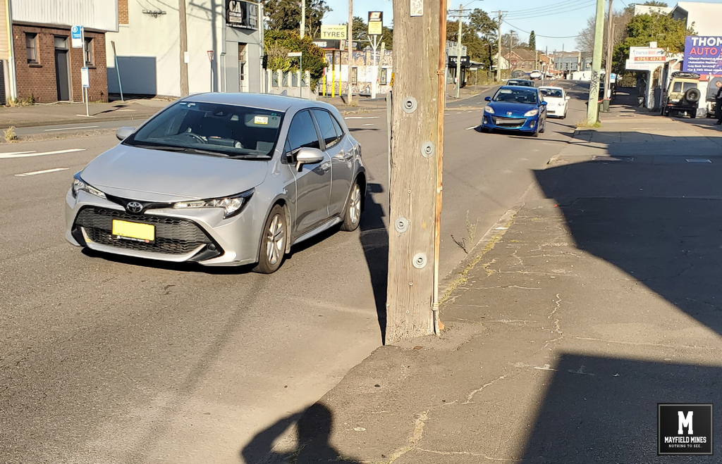
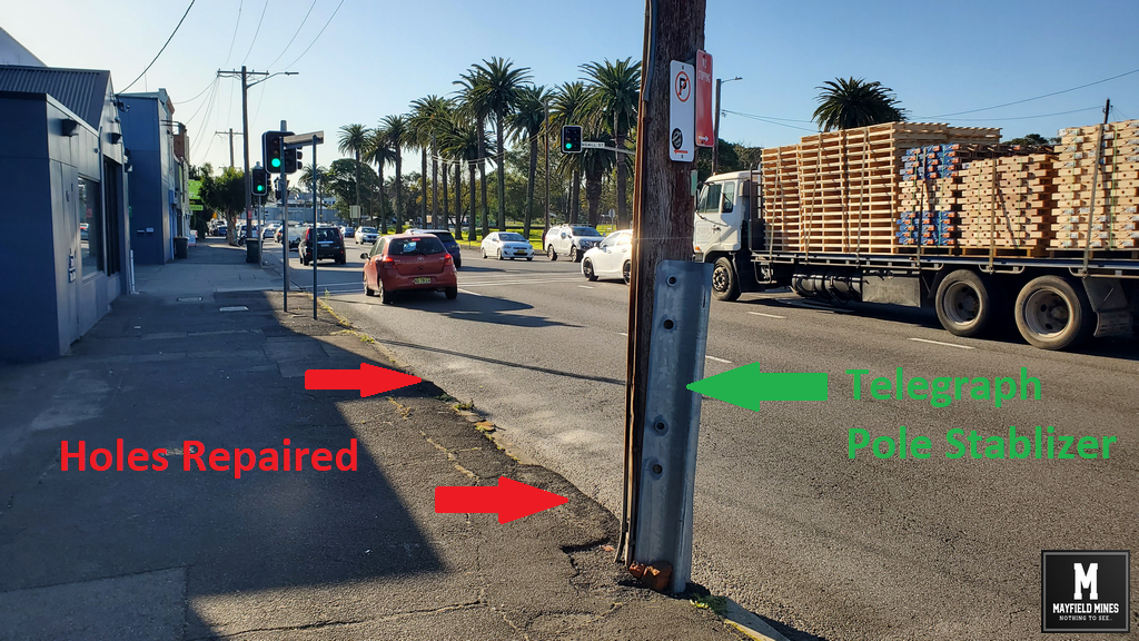
Urgent stablization was required to secure the telegraph pole in front of our property at Maitland Road Mayfield NSW.
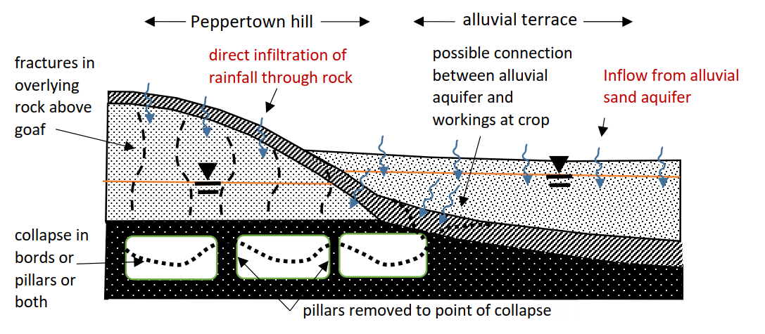
Mine water is flowing directly underneath the road, under the footpath, and then directly into our lower warehouse permanently flooding us.
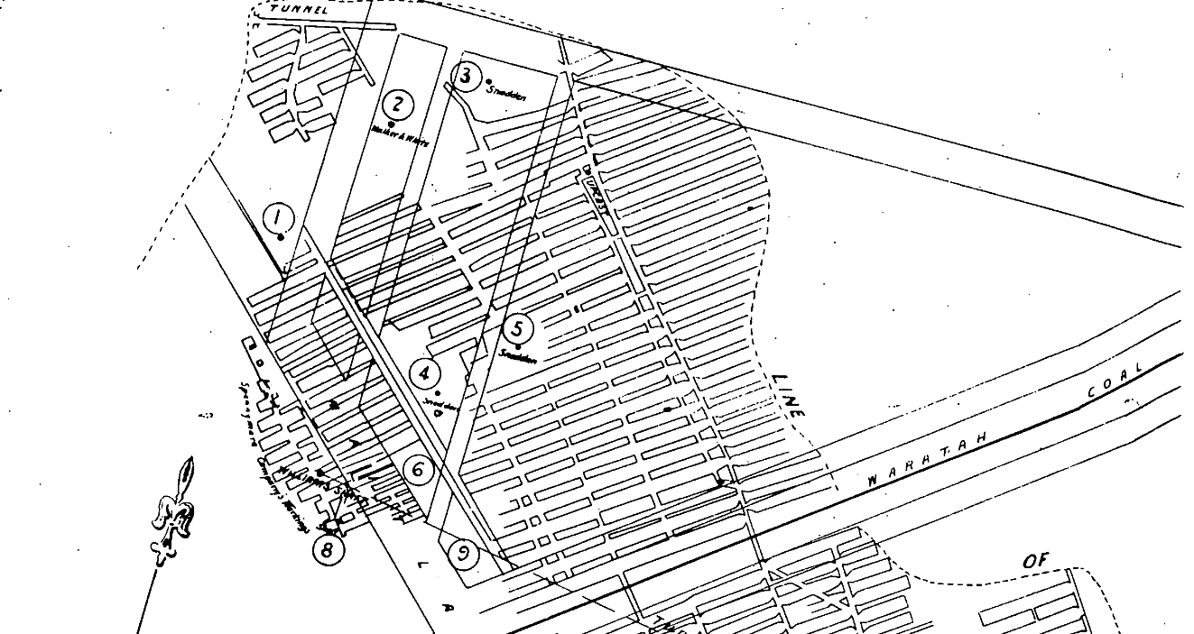
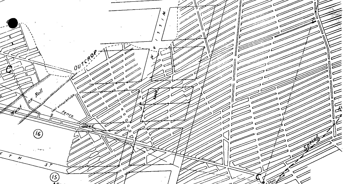
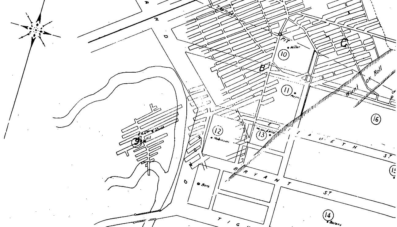
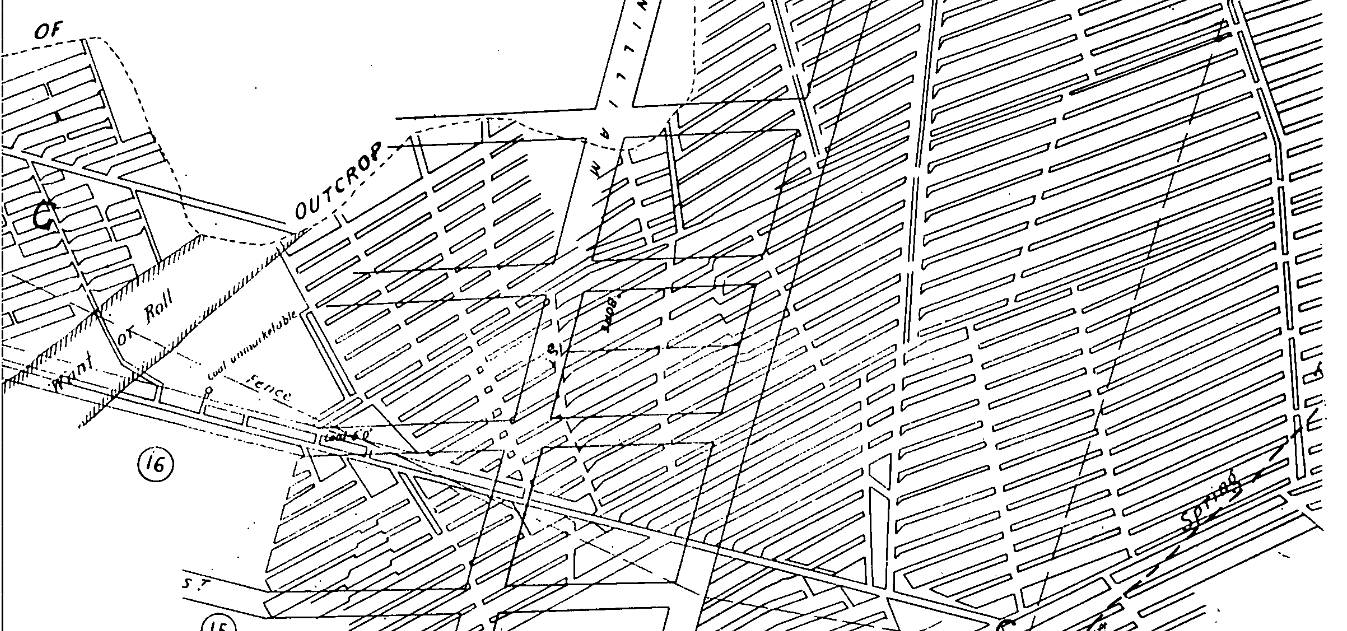
Authorities have stated they believe its from old mine workings. Historic records confirm this – miners back in the 1880s were supposed to leave barriers of coal/soil between various mines, however, they failed to do so resulting in full connectivity of all the mines in the area. Also, mining was to have stopped before Maitland Road however records suggest that mines did go beneath the main arterial road.
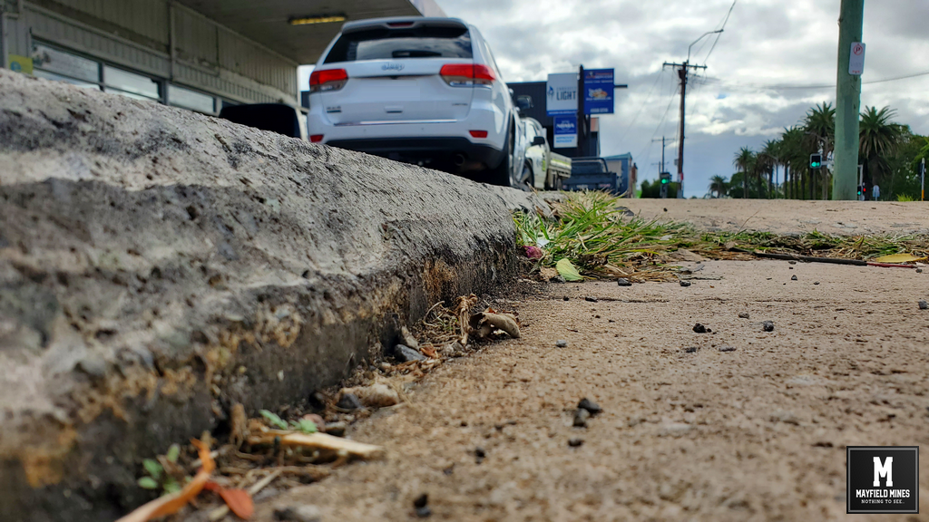
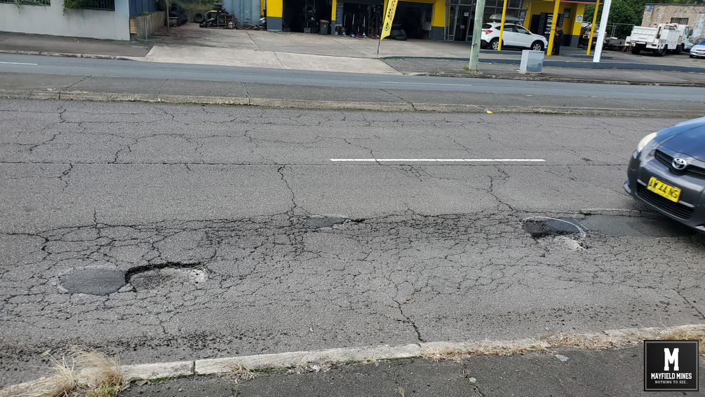
Mine water and the deteriorating legacy mine network has caused damage to Maitland Road, the footpath, to the telegraph pole, and permanently flooding our building.
NSW Government, Mine Subsidence Advisory, Legacy Mines, Newcastle Council and other agencies have been made aware of the issues for over 14 years.
Even when sink holes (some 2-3 metres in diameter) open along Maitland Road it takes an incredible amount of time to get the problems solved. The last hole took more than 7 months for City of Newcastle to action the repair – letters from us to Newcastle Council including directly to the Lord Mayor and councillors, request from Mine Subsidence Advisory and request from Legacy Mines all failed for City of Newcastle to act. If was only when the local MP Tim Crakanthorp wrote to Newcastle Council that the hole was repaired.
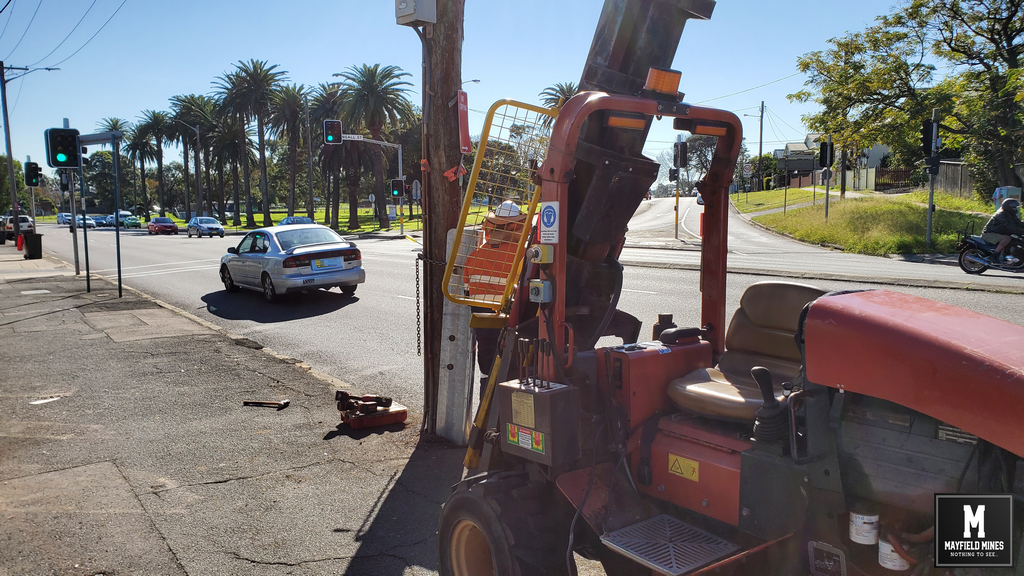
Telegraph Pole Repair Street Level A
Telegraph Pole Repair Street Level
Telegraph Pole Repair