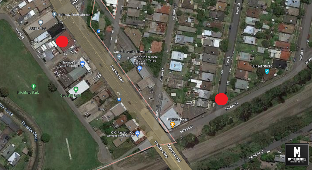
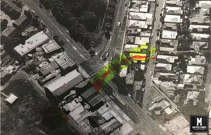
After 15 months of lobbying the NSW government, we have finally received the geo-referenced abandoned “legacy” mine maps. We now have direct correlation between the location of the abandoned mine network with over 100 instances of subsidence damage in our properties.
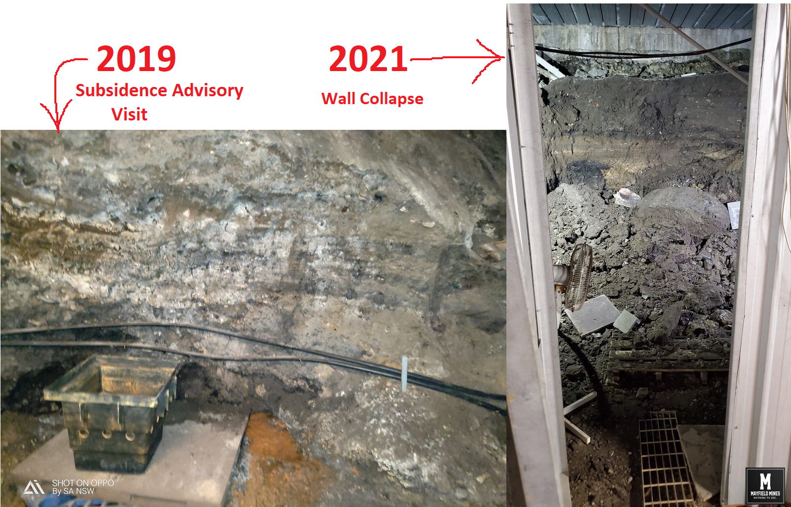
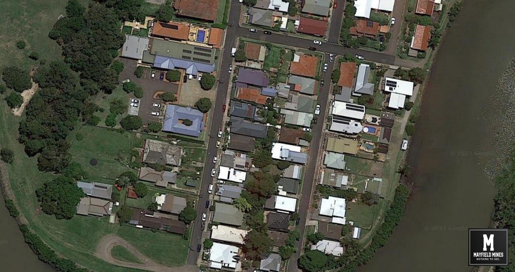
Water flowing “randomly” from under the footpath and into our properties (and others along the street) can be directly connected to the abandoned mines. In these 15 months, 25,000,000 litres have flowed through our properties. The water has permanently flooded Litchfield Park as well as other property owners.
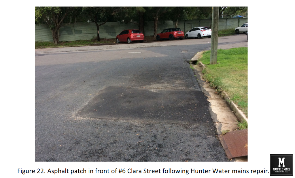
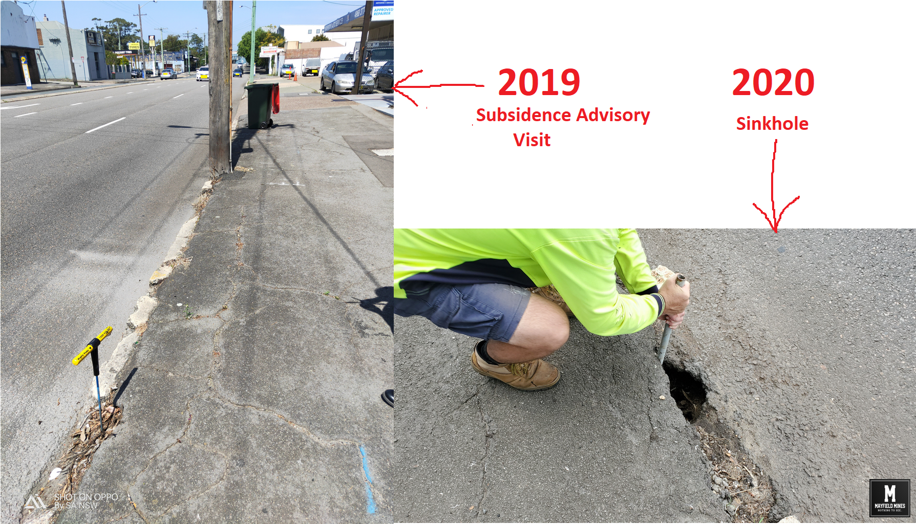
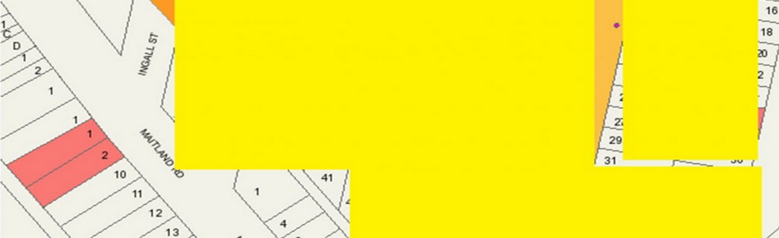
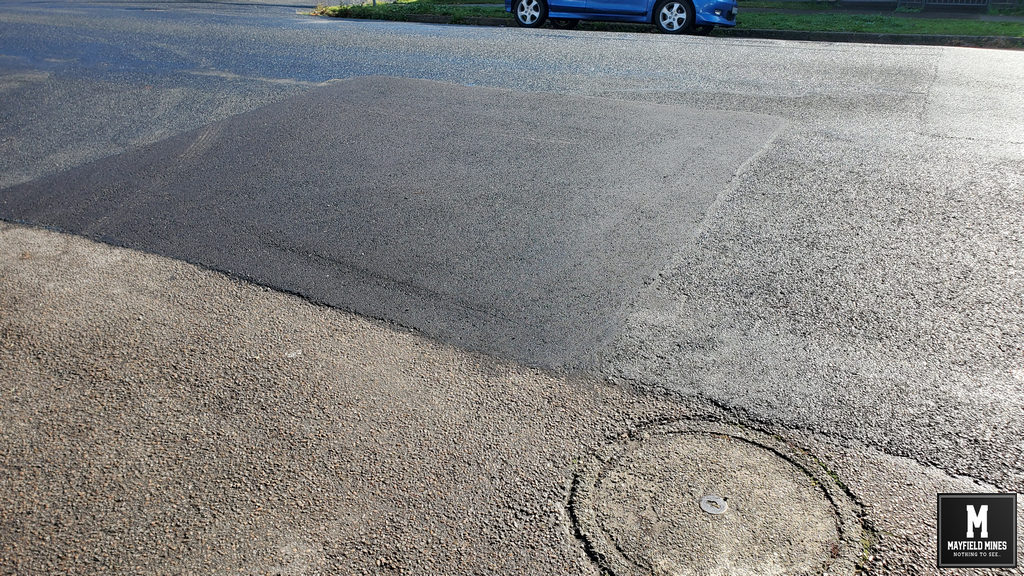
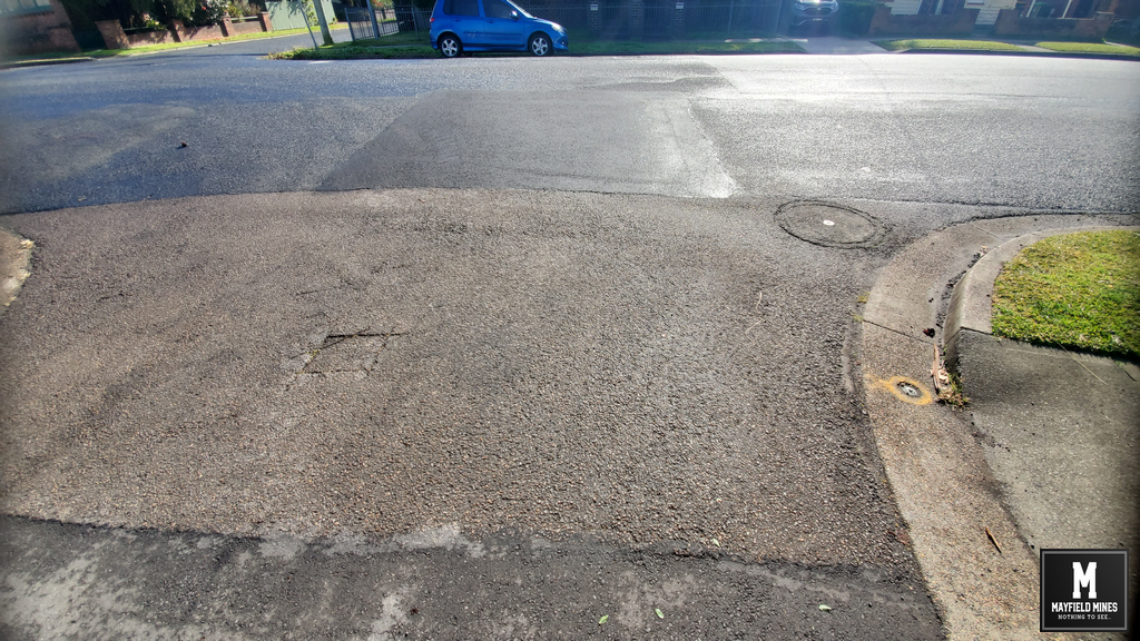
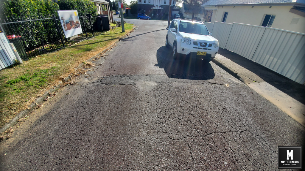
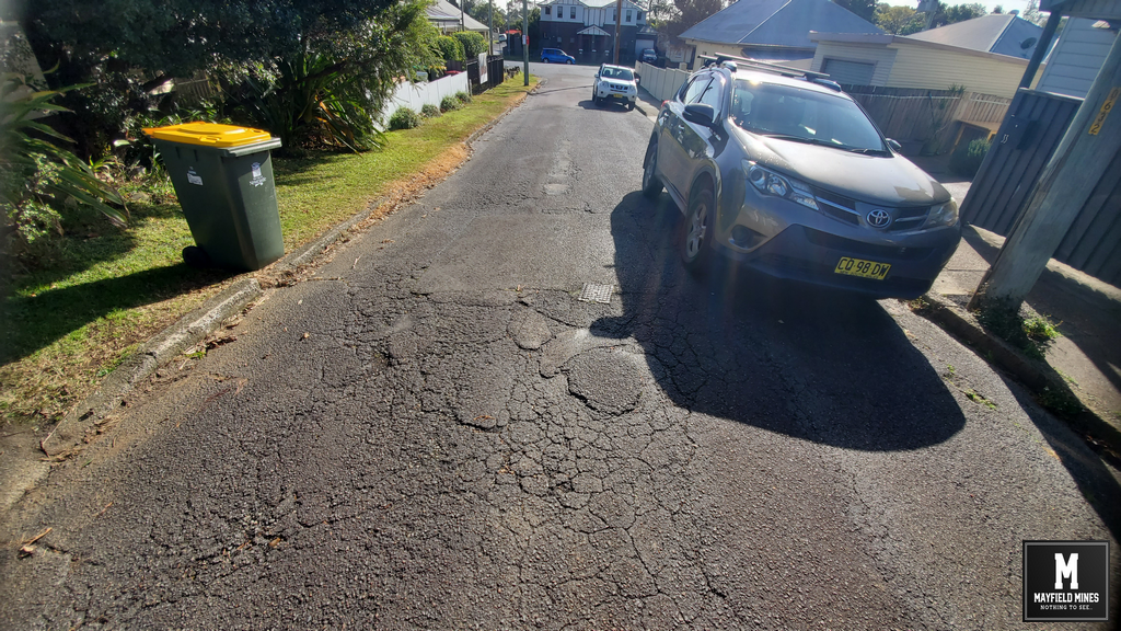
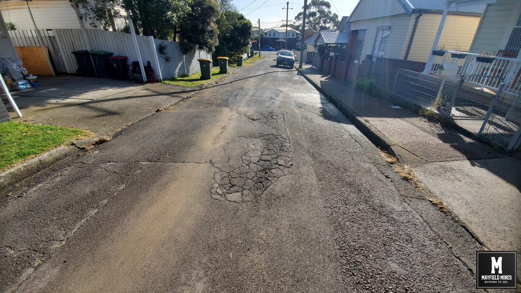
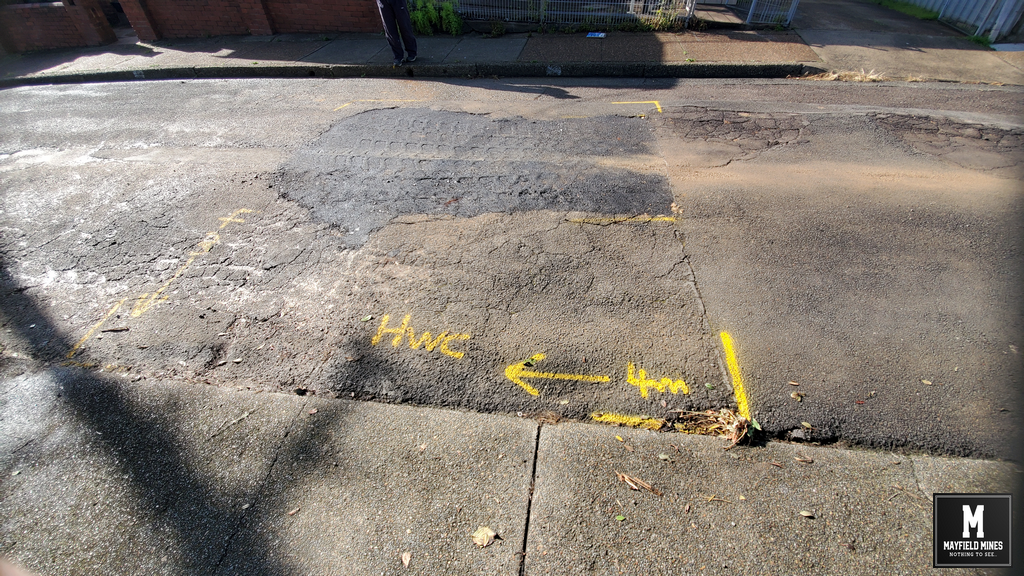
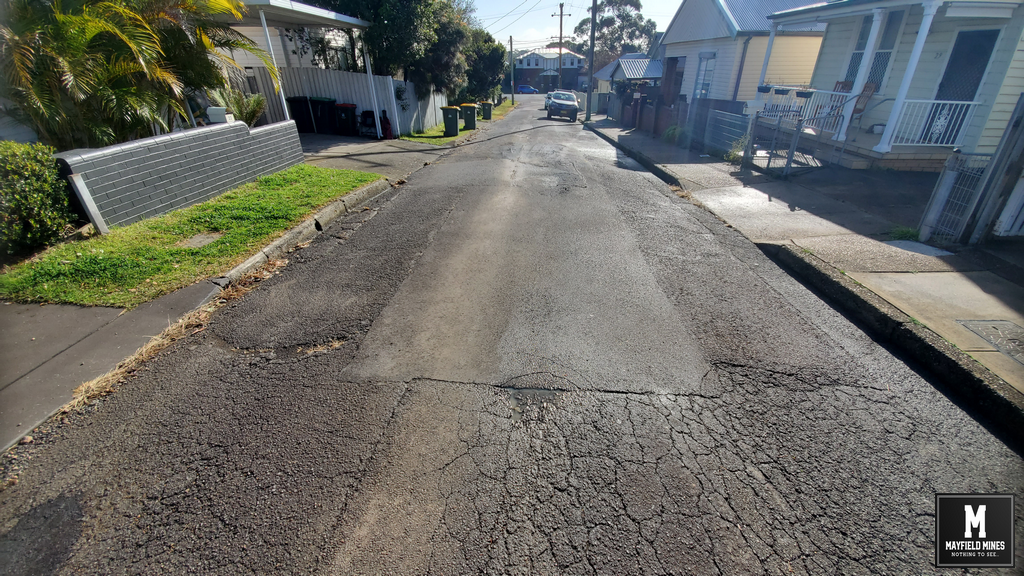
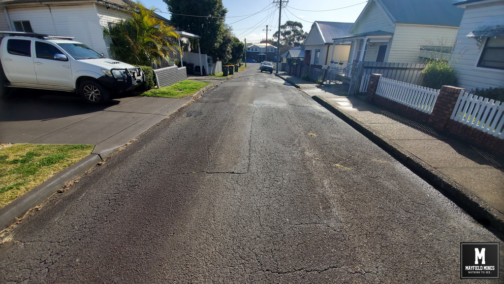
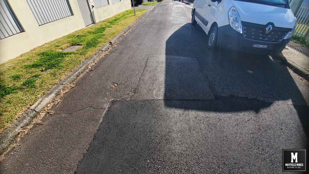
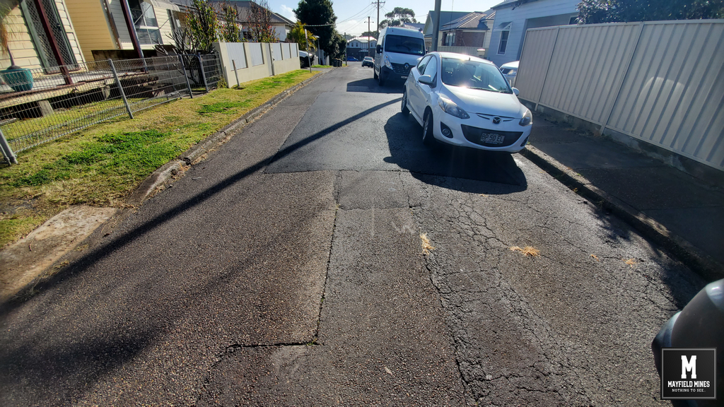
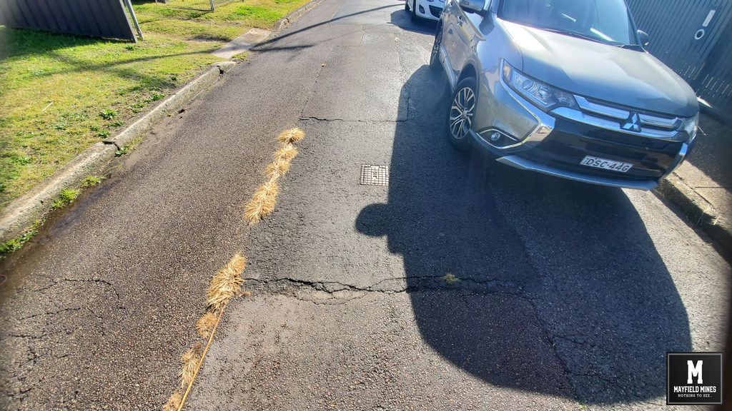
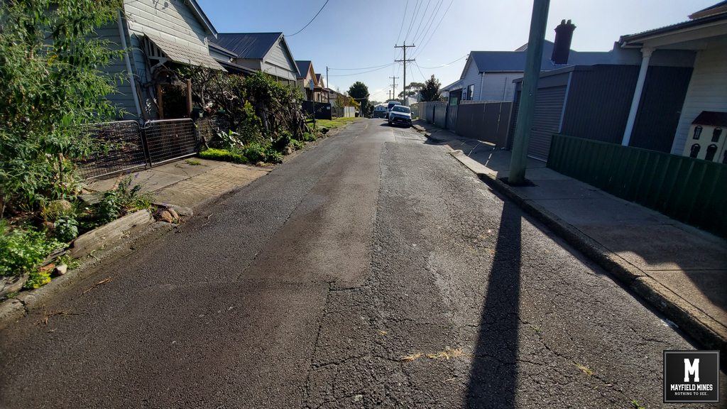
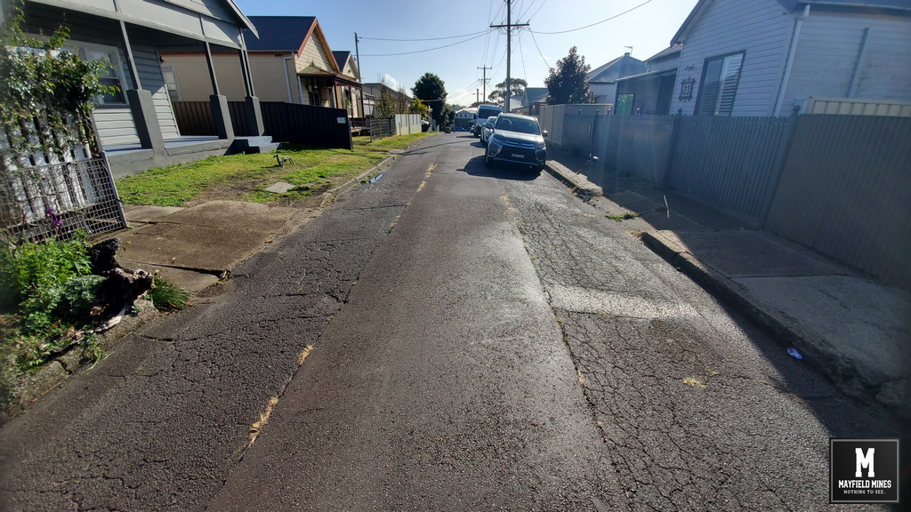
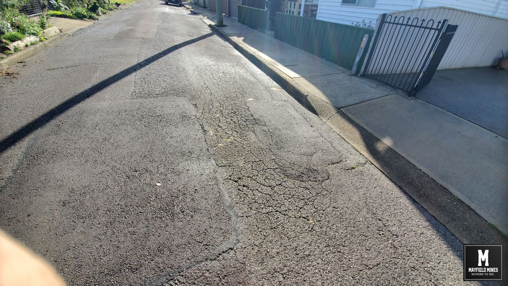
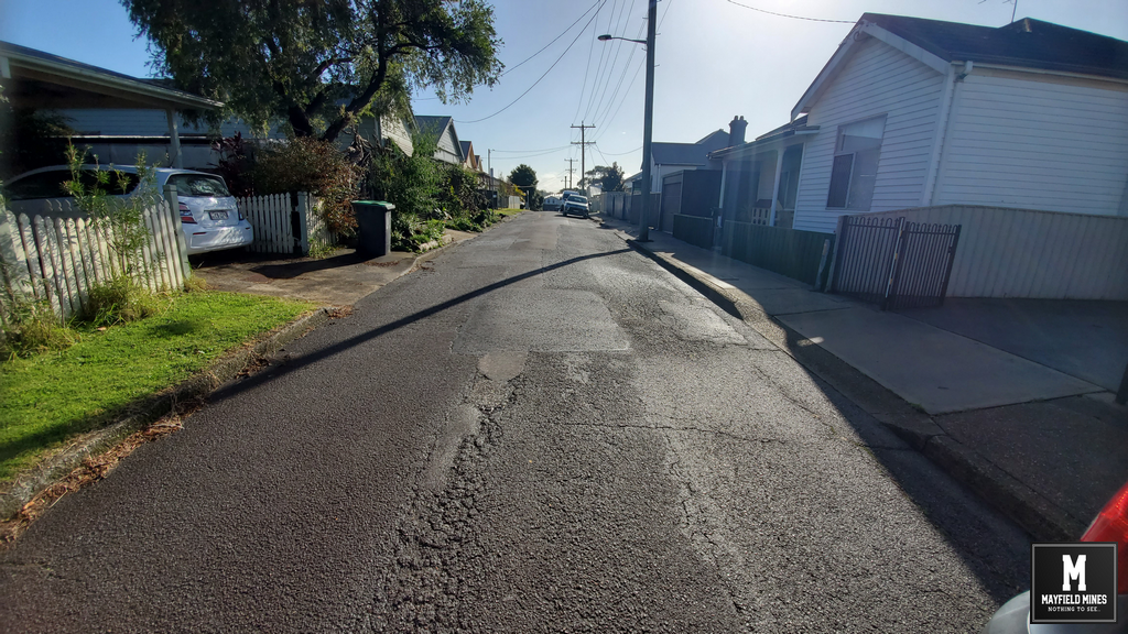
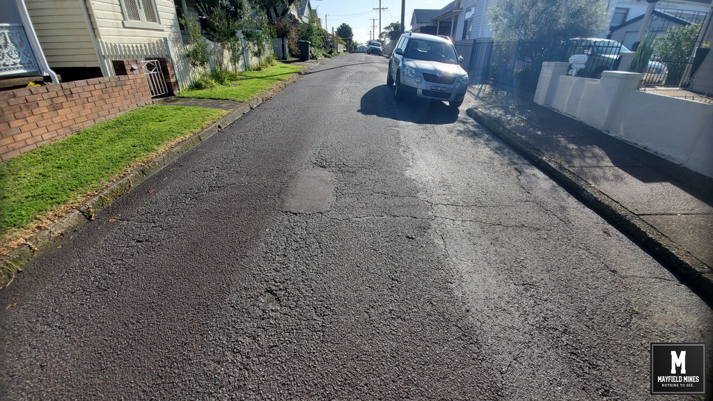
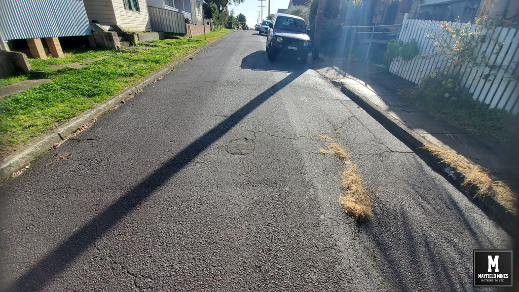
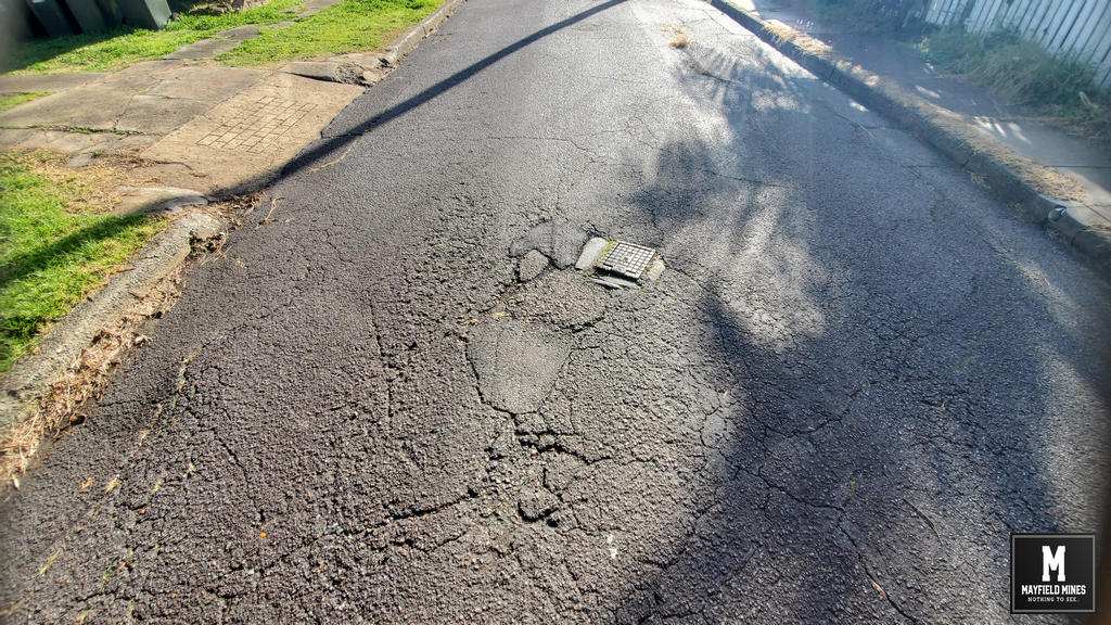
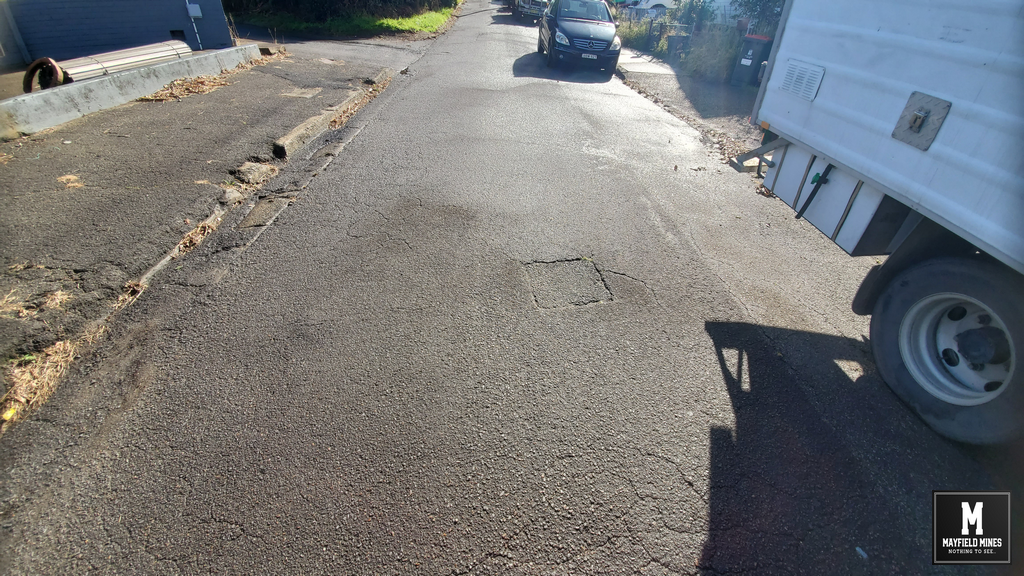
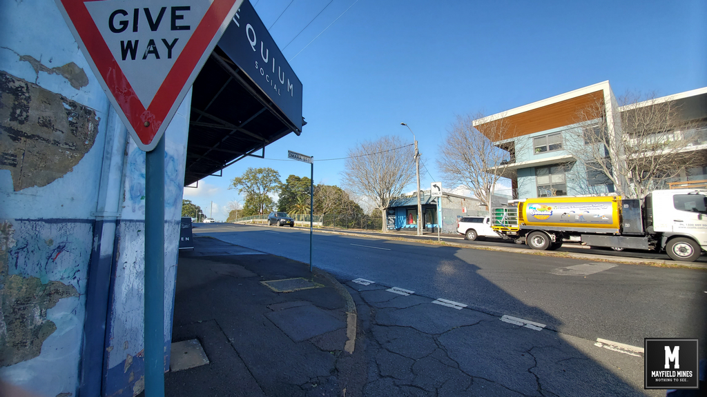
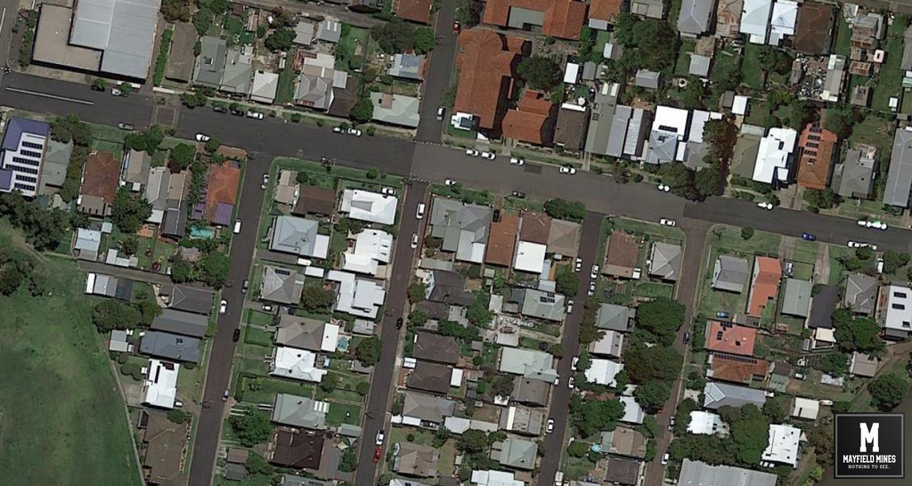
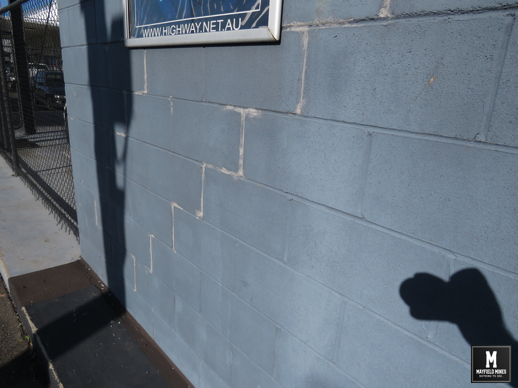
Subsidence and sink holes around Maitland Road now can be fully attributed to the old mine workings. These sink holes have been previously “signed off” by Newcastle Council being caused by termites eating a 1968 telegraph pole. Even though the holes have moved up and down the street, Newcastle Council still maintain its termites causing the troubles. Oh, and they continue to handle street subsidence and sinkhole repairs.
It’s time for property owners in Newcastle to be able to obtain current geo-referenced mine maps on their own property, not a foggy “zone of influence” statement. For more than a decade, Subsidence Advisory has withheld information from us. Even though NSW Government agencies have acknowledged our problems, and understand that our properties/businesses have been destroyed, they have continued to keep silent.
We have collected extensive information in Tighes Hill, Mayfield, Carrington and other suburbs in Newcastle thanks to the support of local home and business owners. Shortly we will start a public campaign and hope you can work with us to bring changes to the way old mine workings are handled in Newcastle and NSW.
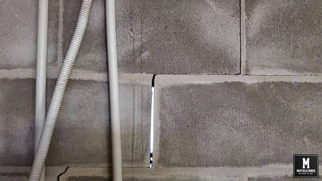
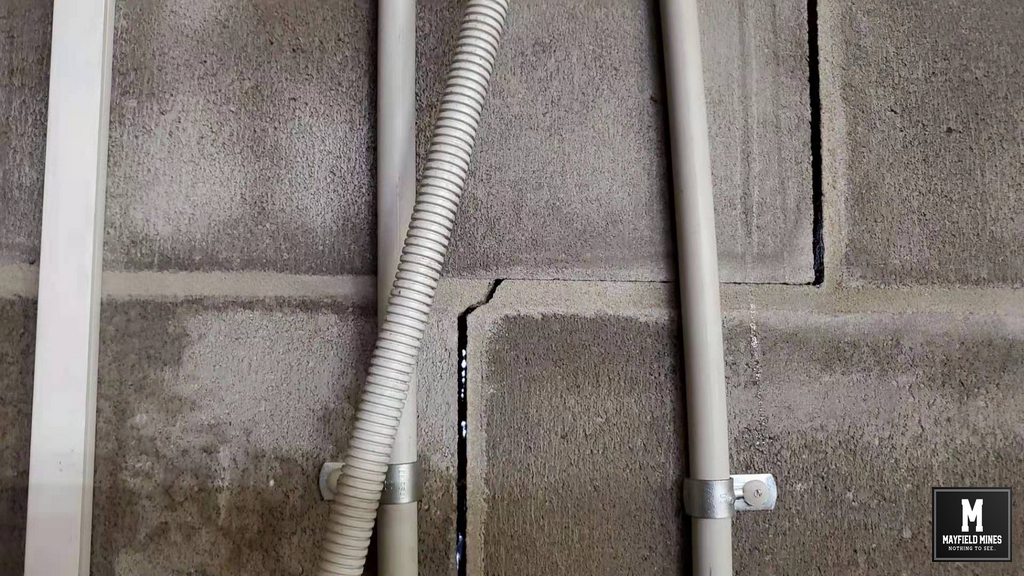
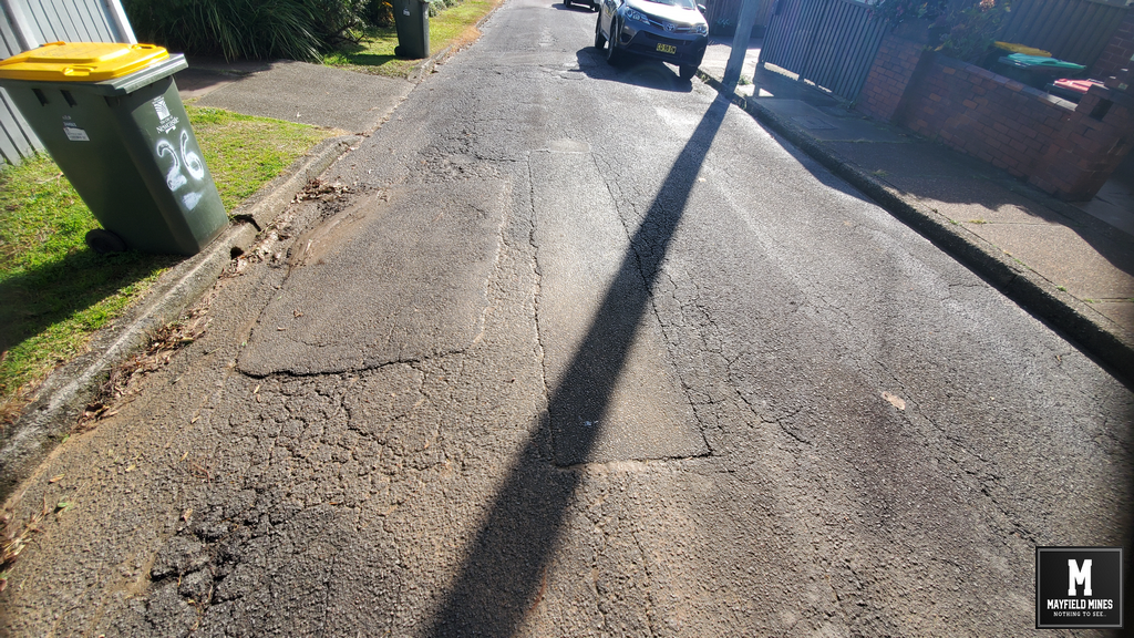
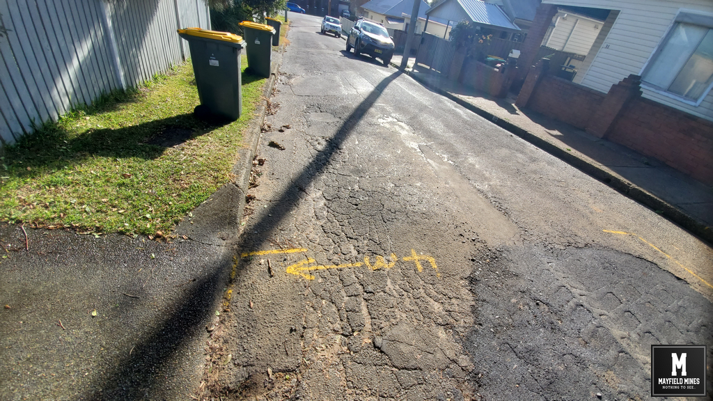
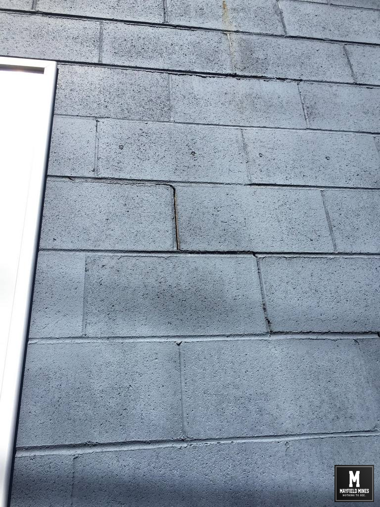
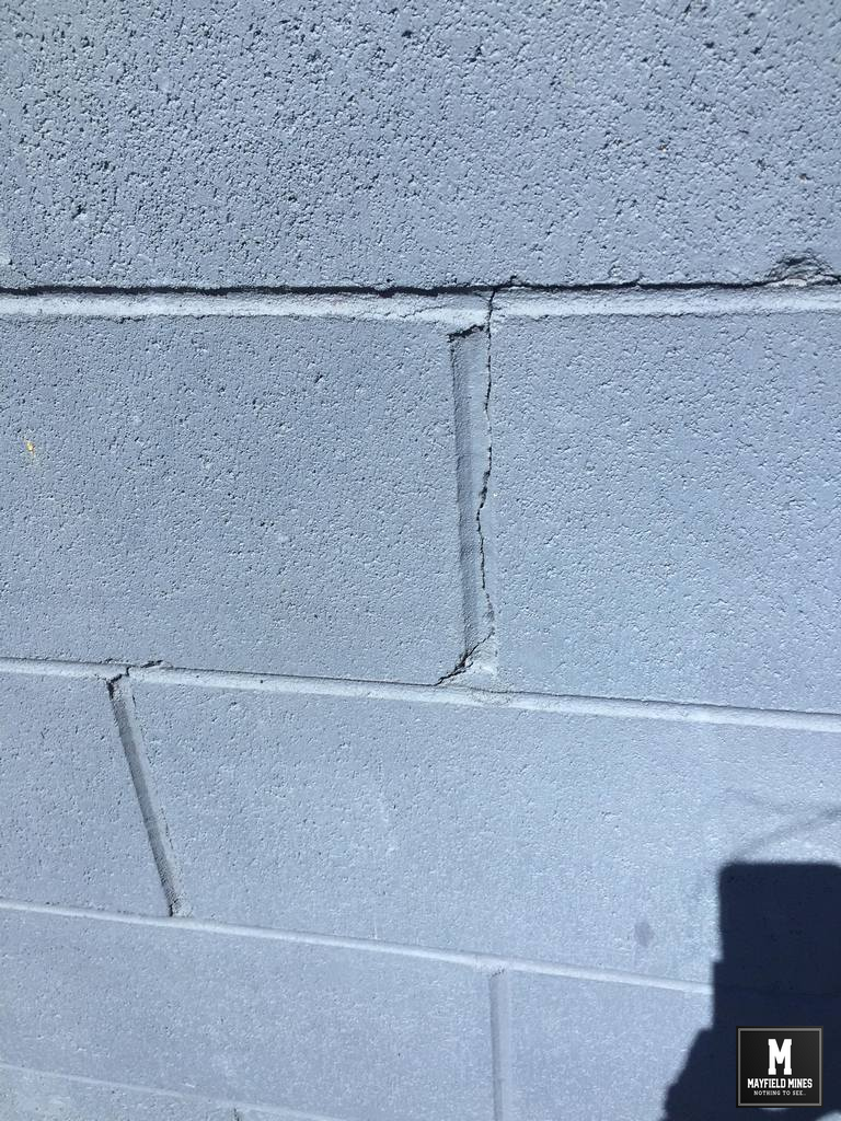
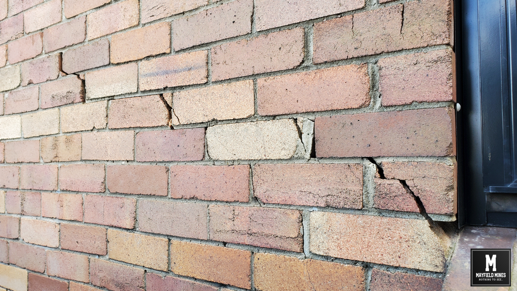
38 Maitland Road Subsidence Damage Repair
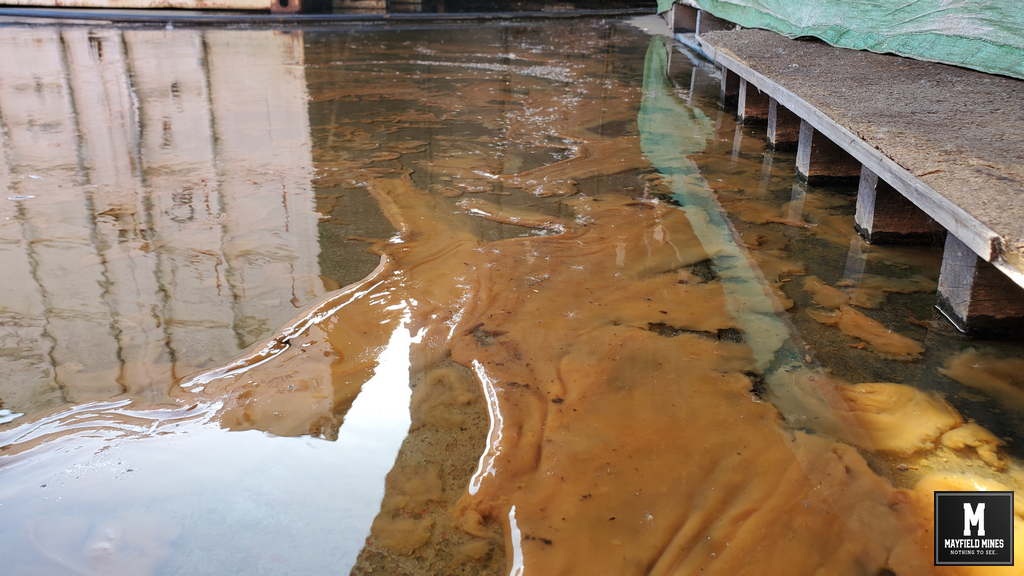
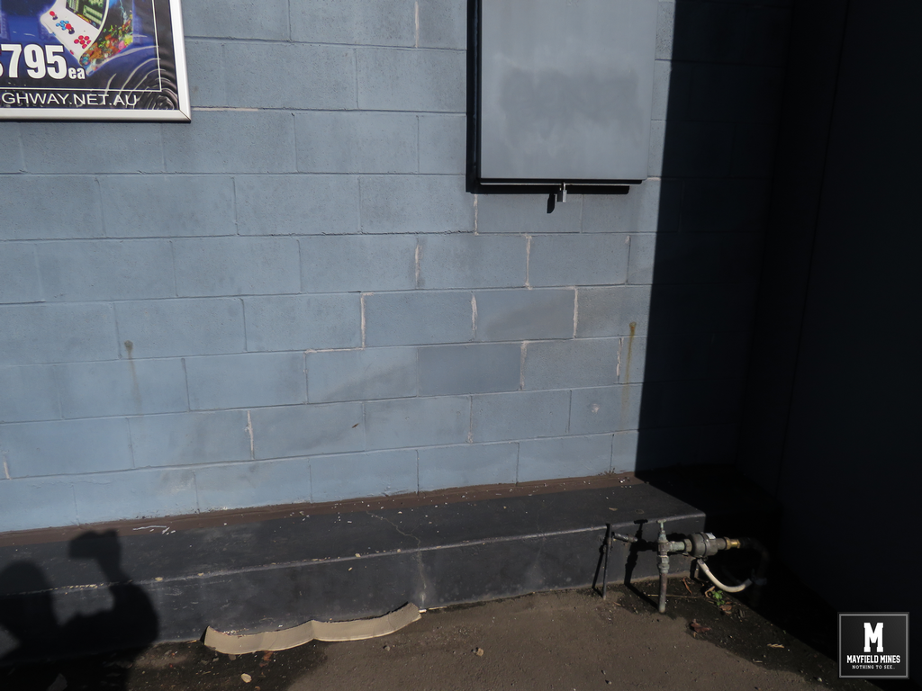
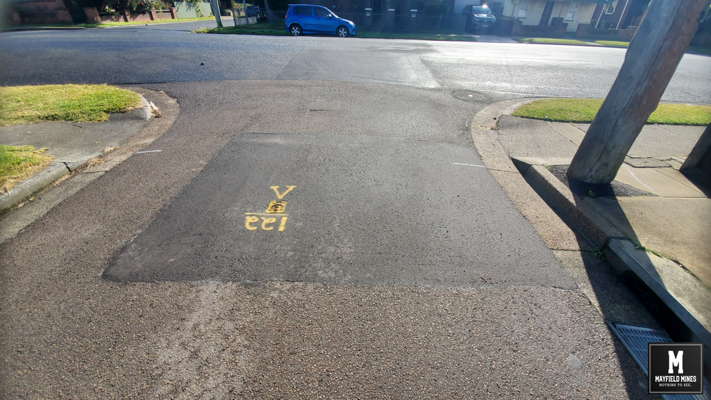
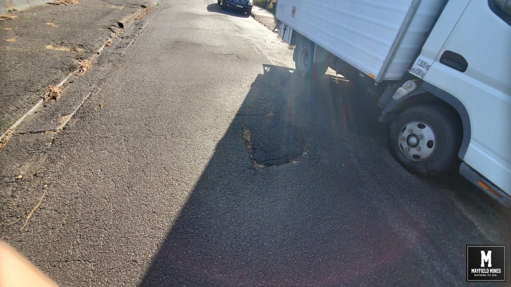
mine water 38 Maitland Road Mayfield Carpark
Maitland Road Mine Subsidence Damage