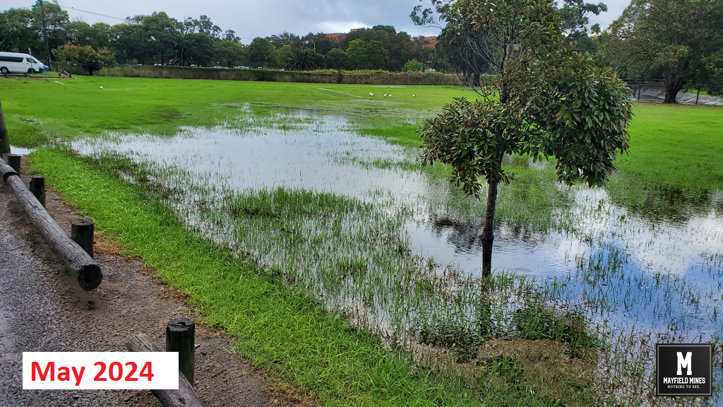
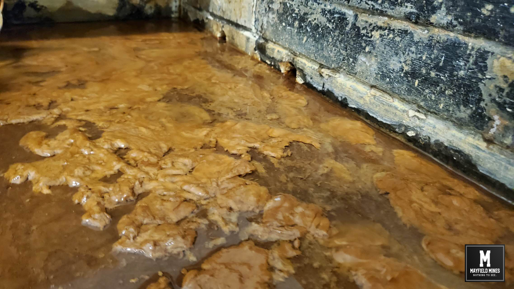
A Newcastle Council environmental officer visited on Friday to inspect the flooded Litchfield Park.
Not only have senior Newcastle Council officials been fully aware of the flooding problems for many years, but, they have ignored efforts to find a solution. In 2020, the Deputy Premier understood there were issues in Mayfield East and contacted the Lord Mayor to investigate.
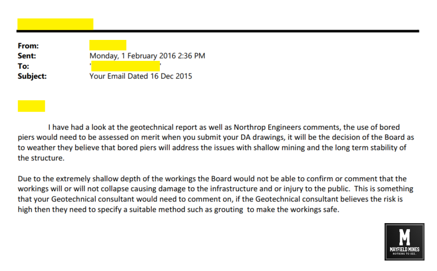
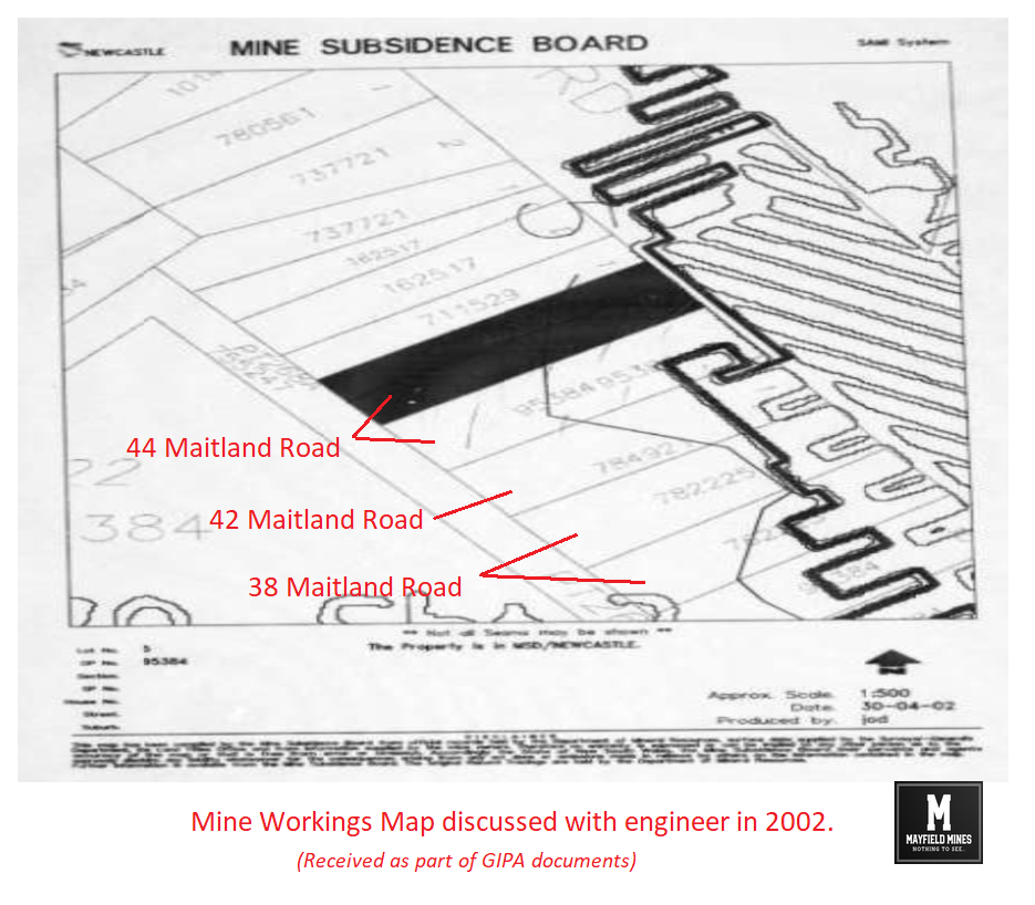
In Feb 2021 a meeting took place in our office with Legacy Mines and Newcastle Council. During this meeting, the Newcastle Council manager suggested;
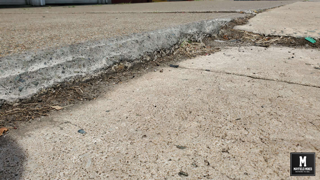
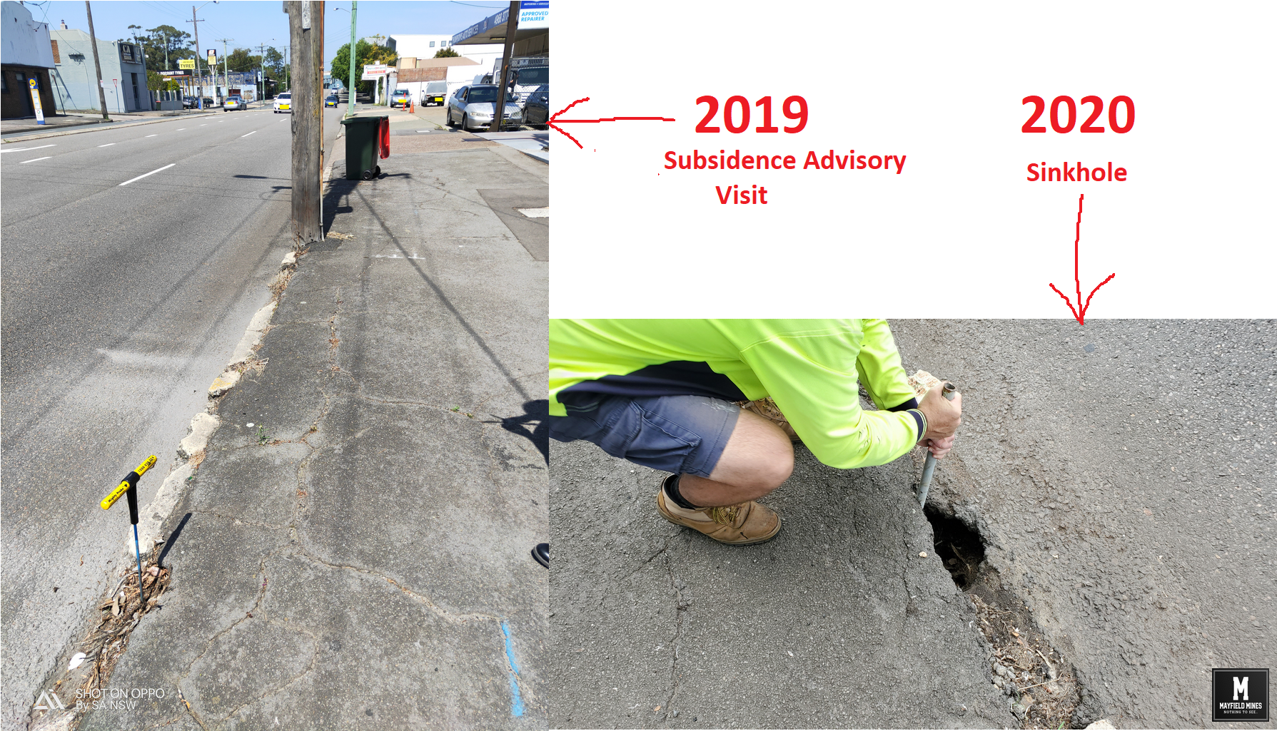
- they acknowledged historic subsidence issues at intersection Maitland Road and Ingall St
- they would liason with all government departments and put recommendation to the Deputy Premiers office for a combined solution for submersible pump.
A few months later, Newcastle Council wrote they would not be involved in any further investigation;
“With no direct impacts on groundwater seepage attributable to CN stormwater assets, it is not CN’s intent to undertake or be responsible for any further works/investigations associated with the implementation of any nominated solution(s).”
When we asked if Newcastle Council if they would share their investigation information so we can continue with the Deputy Premier’s office, we were ghosted. 17 months after the meeting, we finally received a reply from Newcastle Council saying;
“I can confirm no formal request was received from, nor was any formal response required to be sent back to the (then) Deputy State Premiers Office in regard to this matter.”
Ok, so we have a letter from the Deputy Premier’s office saying they have contacted Newcastle Council to investigate the subsidence/flood issues in Mayfield East, and later, GIPA documents stating that some correspondence did occur (we were not given the findings of either Newcastle Council or the Deputy Premier’s office). Why is Newcastle Council continuously misleading us?
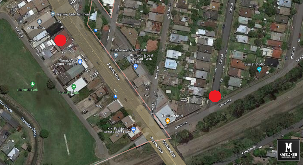
In 2022, we made an official complaint to Newcastle Council, writing to the Lord Mayor and various councillors. We explained clearly that the problem is not isolated to us, but is a problem that is affecting the entire area. We showed evidence of TAFE Park versus Litchfield Park as both parks are near to each other. Litchfield Park is flooded, TAFE park is fine. Our complaints were passed onto the same Newcastle Council manager who visited us in 2021 where he suggested that there were no issues with public assets, and that the problems we were experiencing should have been rectified if we followed the Legacy Mines report. Below is our reply;
“With regards to solutions put forward by the Professor, in your email, you write “To date, CN is not aware that they have been considered or actioned in anyway”. I remind you that you were at the round table meeting where we discussed this carefully with one of your engineers as well as Legacy Mines. There needed to be a detailed report from government departments to give the best solution on;
– How much water to remove from the mine
– Which stormwater pipe to connect the submersible pump
– EPA water analysis
– Larger Infrastructure to support larger volumes of water flow
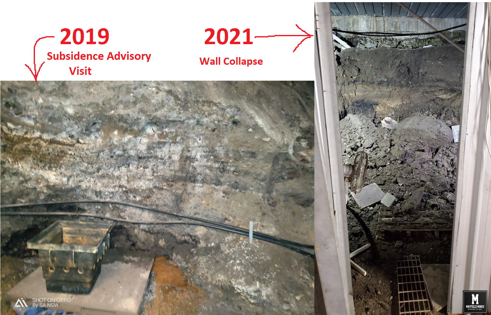
As Legacy Mines suggested at this meeting, there could be a real impact on subsidence in the Mayfield East area if too much water was removed, especially with the high level of mine subsidence complaints in the Mayfield East area (especially across the road from our properties).”
We then followed up by stating;
“In February 2021 there was a strong opportunity to receive the Deputy Premier’s help to solve this problem. When you visited us, you advised us that you would be helping to coordinate a combined solution. But actually, you did nothing. You were to contact the DPs office, but from your email you have never contacted them. You were to put together a plan with Legacy, but from our understanding you never did put a plan together.”
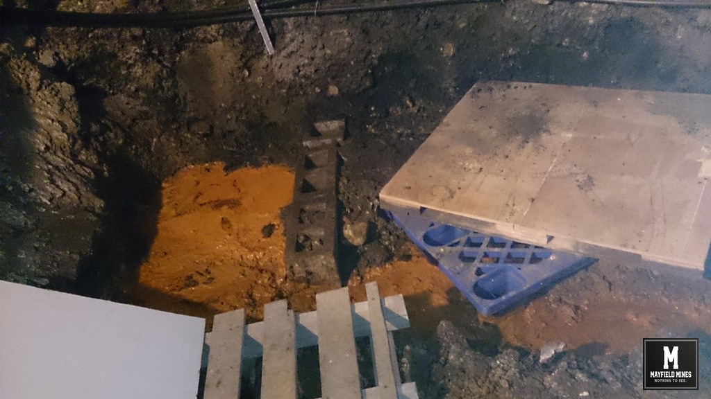
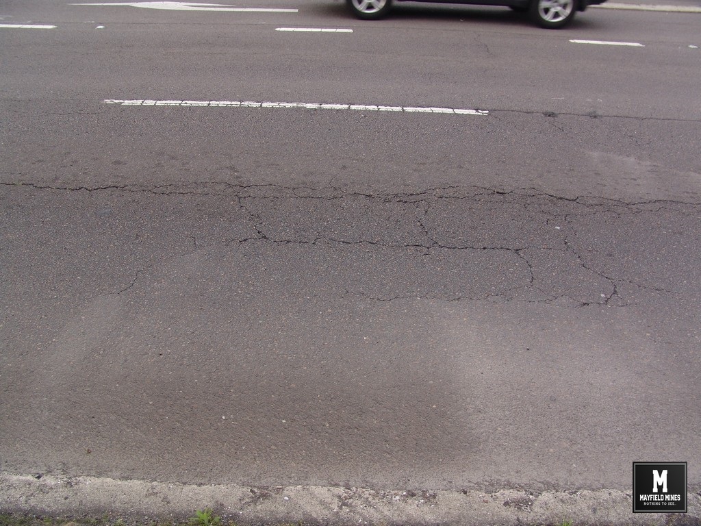
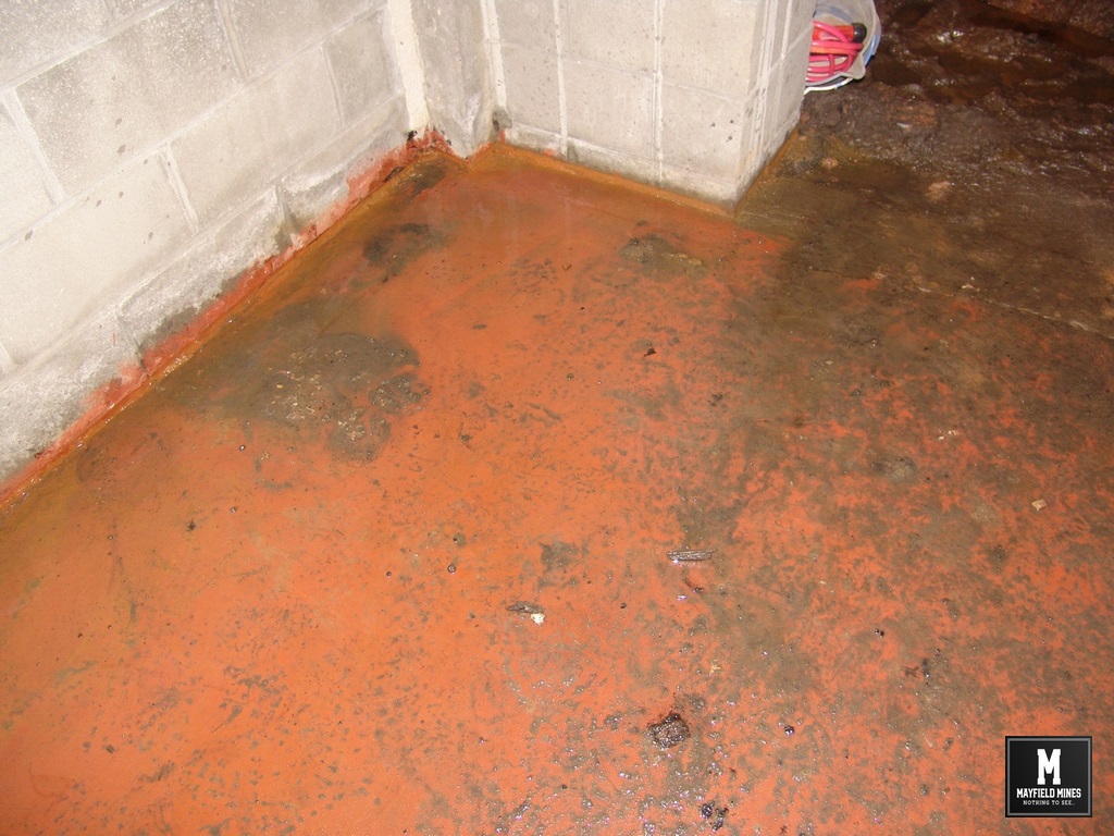
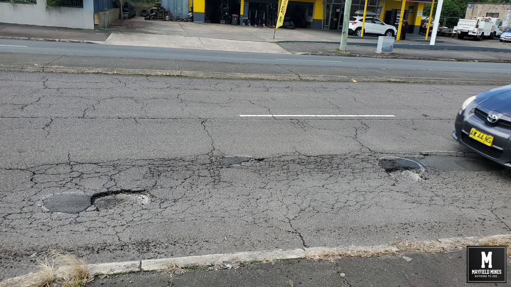
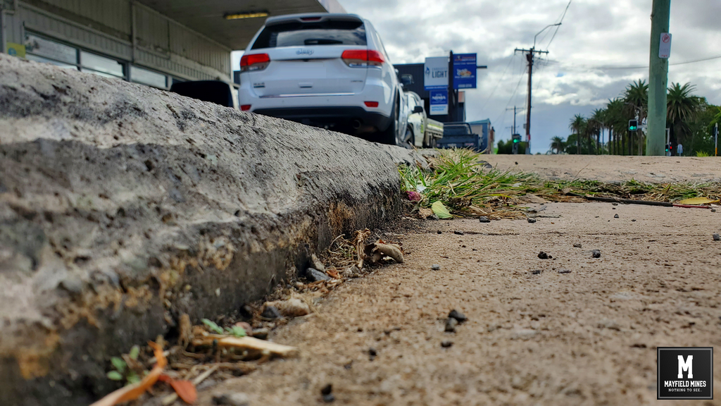
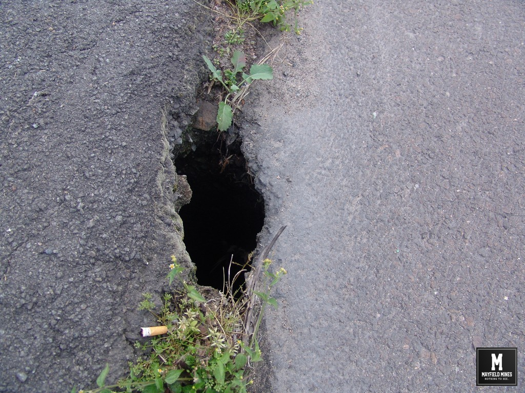
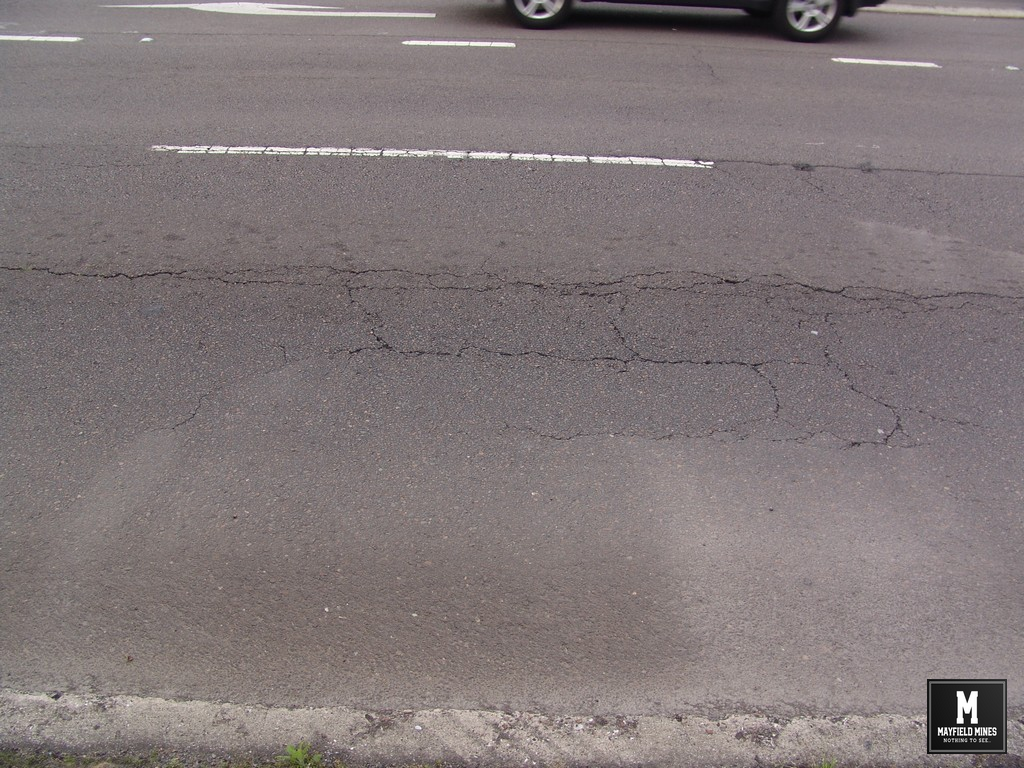
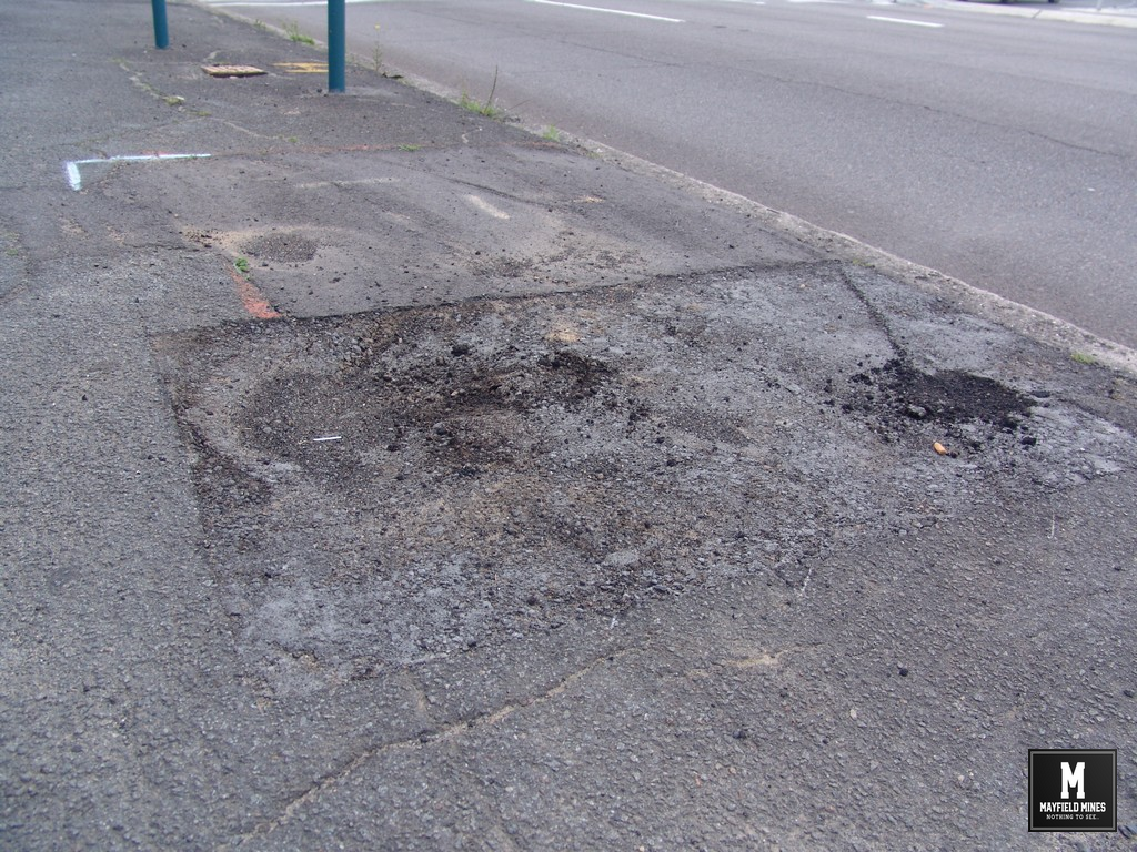
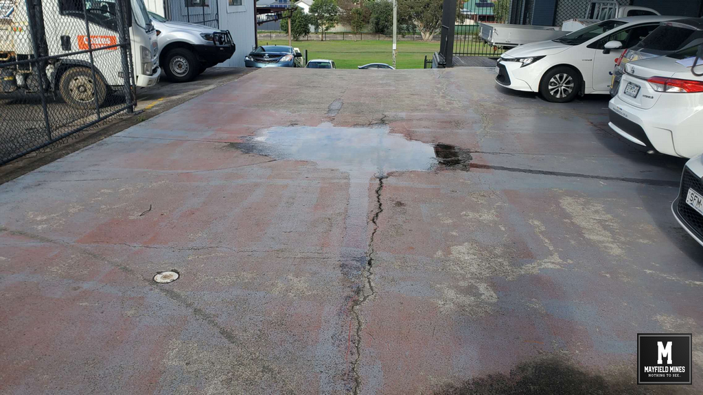
We also shared photos stating that the problem had become worse and needs a proper investigation. Newcastle Council suggested there were no problems. And, the NSW Government also suggests this is not in the public interest.
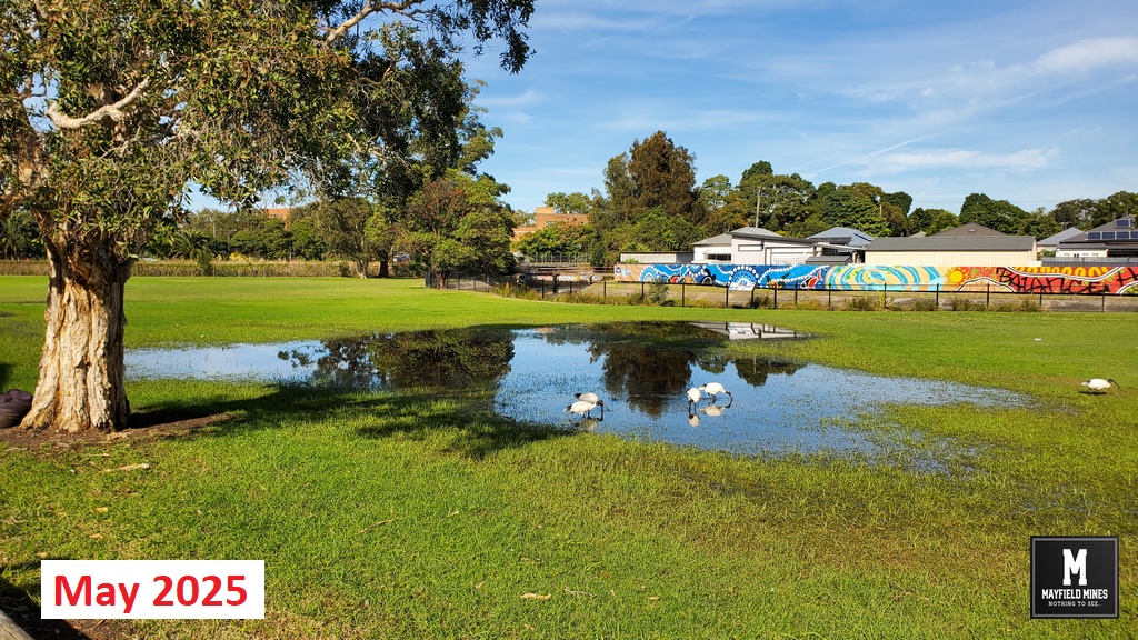
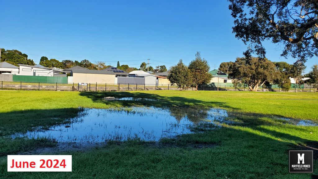
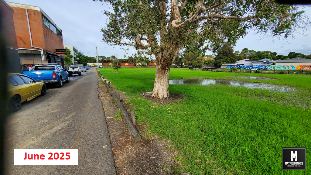
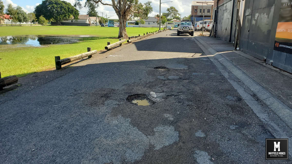
3 years later, and the problem has spread and become much worse.
If you feel there is a problem, please support us by writing to;
- Tim Crakanthorp MP ElectorateOffice.Newcastle@parliament.nsw.gov.au
- Newcastle Council newcastle.nsw.gov.au/about-us/forms-and-publications/forms-and-permits/customer-complaint-or-feedback
And ask them to properly and transparently investigate flooding issues at Litchfield Park and Mayfield East.
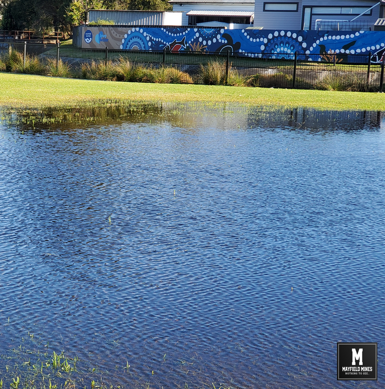
Litchfield Park Flooded in July 2025