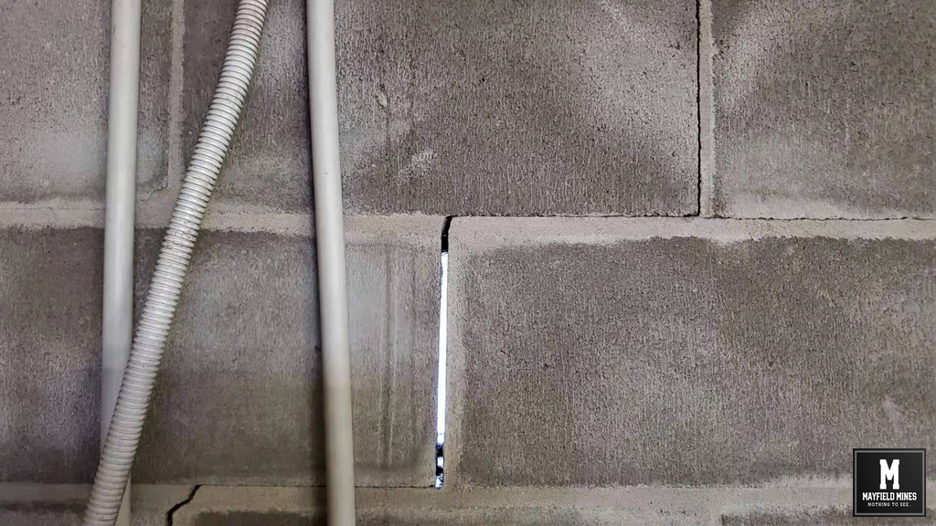
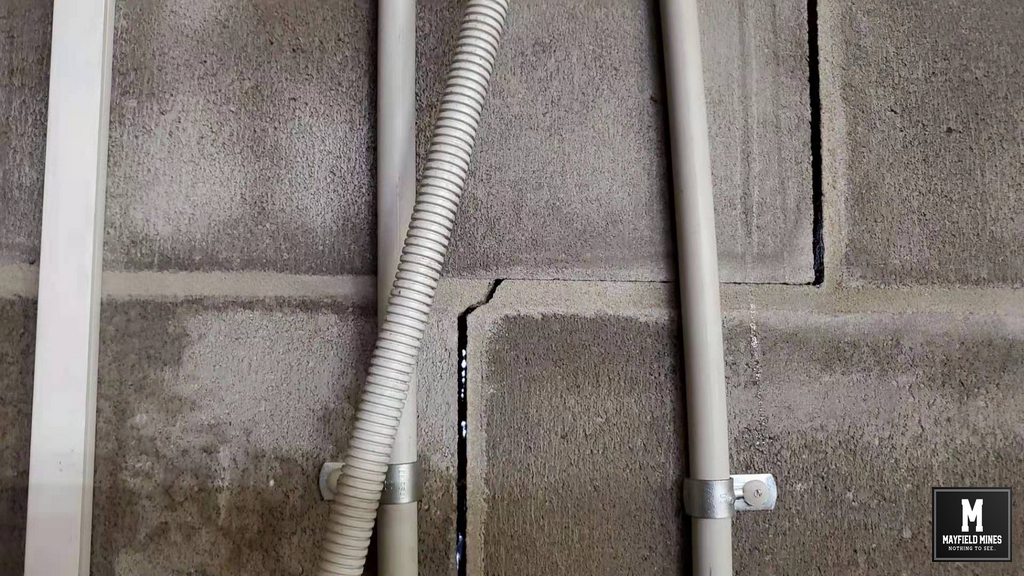
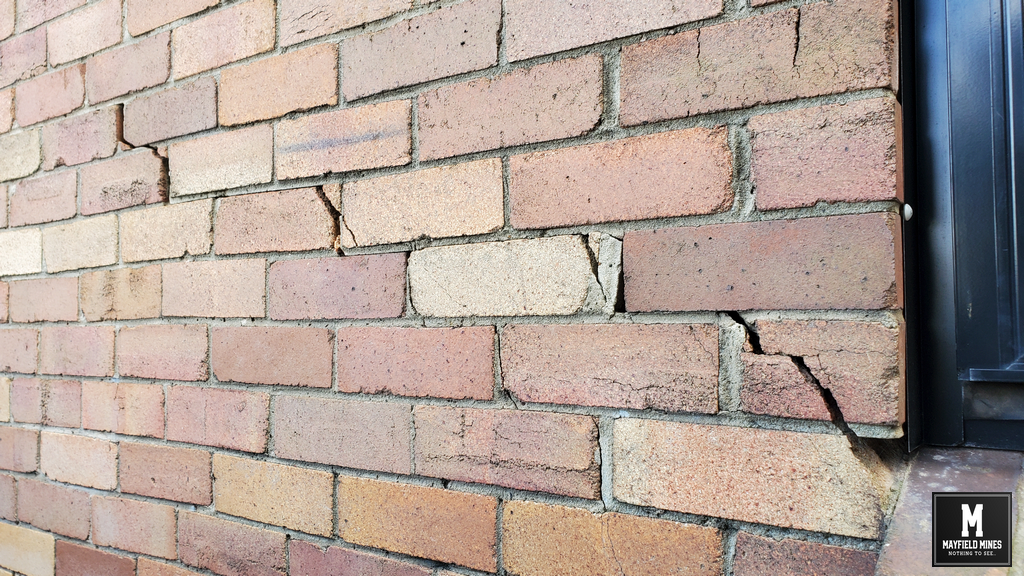
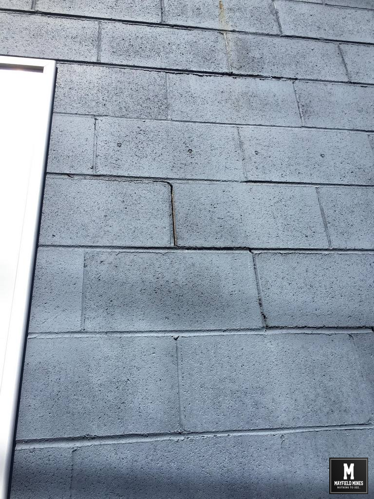
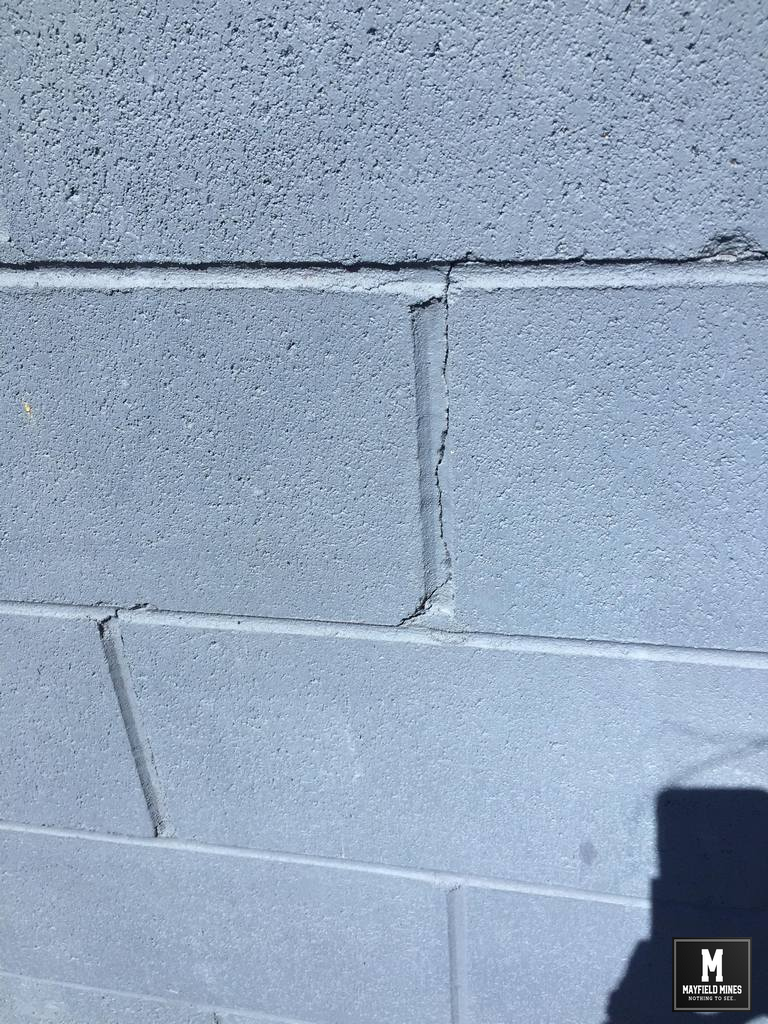
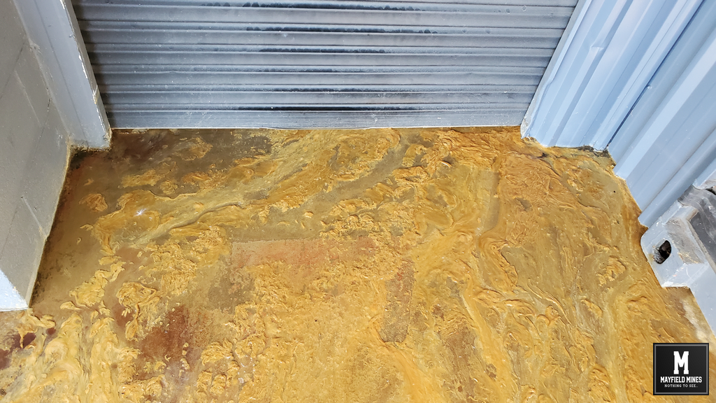
Are old legacy mine maps kept from the public so that people do not fully understand they are in a mine subsidence district, or to minimise the amount of claims registered by home owners. During our discussions with home owners in our area, we found that many did not know that their properties were beneath a mine so they never fully understood why their wall was cracking or the garage subsiding. Then we also have owners who told us they applied for subsidence damage, only to be told they are not in the “zone of influence”. Lastly, we also have the situation on hiding the true costs of constantly repairing subsidence damage.
In areas such as Mayfield, we need an open and frank discussion about the waste of money and resources that relate to the old legacy mines, particularly;
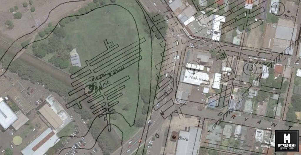
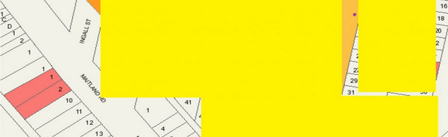
- legacy mine maps to be added to the https://www.planningportal.nsw.gov.au/spatialviewer/ website allowing homeowners to receive information about the old legacy mines that would include the year of mining, the map of the mining including depths/etc and any remedial work that has been completed. Since many of the maps date back to the 1800s, a non-guarantee in accuracy would be agreed to by users – we all use it as “best guide” but not 100% accurate
- open and public record of mine subsidence claims. If people are worried about privacy concerns, then at least the street name, total claims, and total houses should be listed.
- cross referencing with agencies such as Newcastle Council (road, kerb, stormwater, etc..) repairs, together with Hunter Water (pipe repairs) should be help with Subsidence Advisory for action plans to solve hot spots.
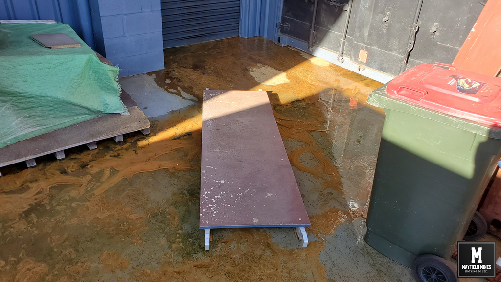
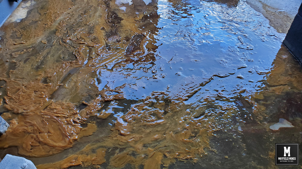
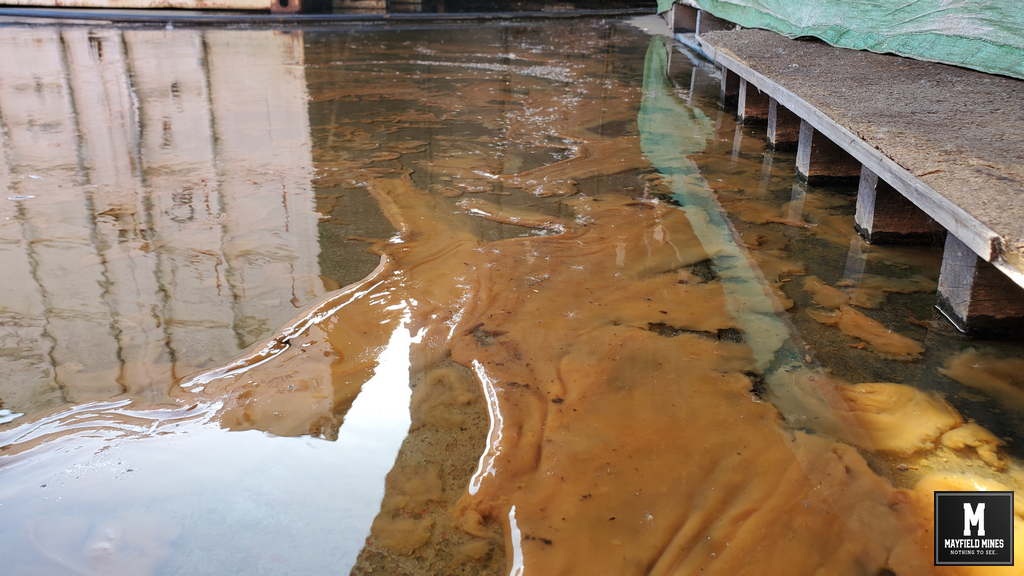
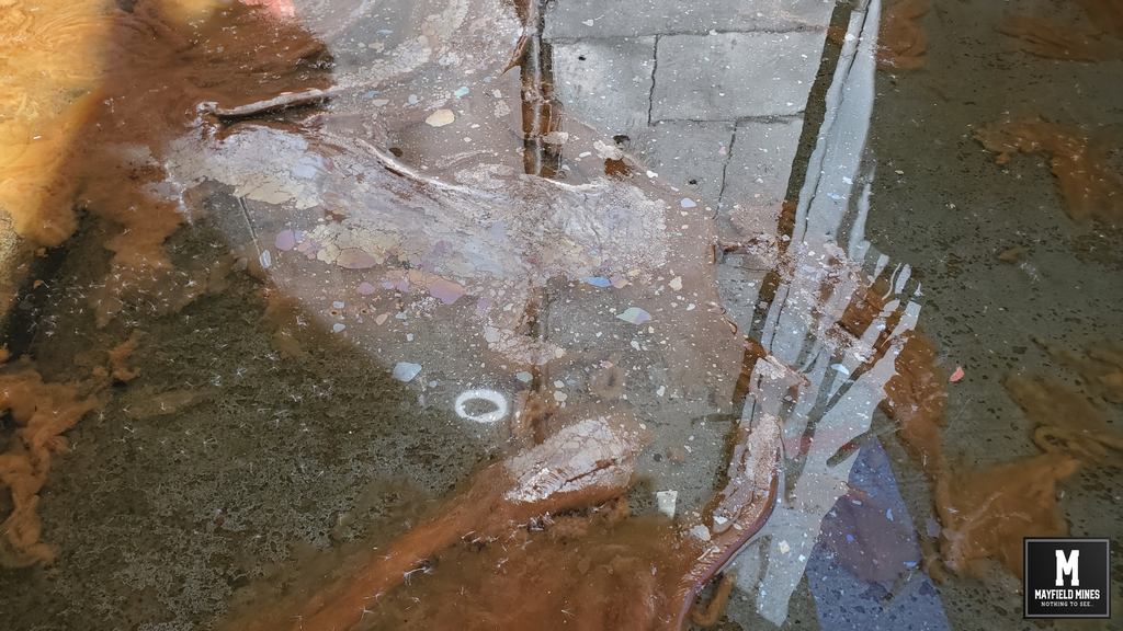
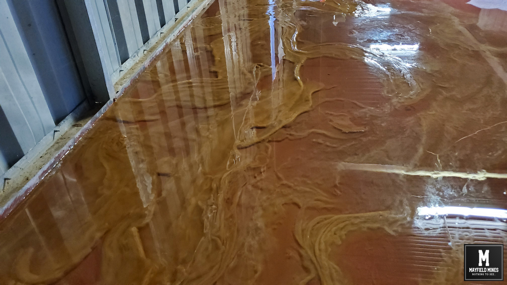
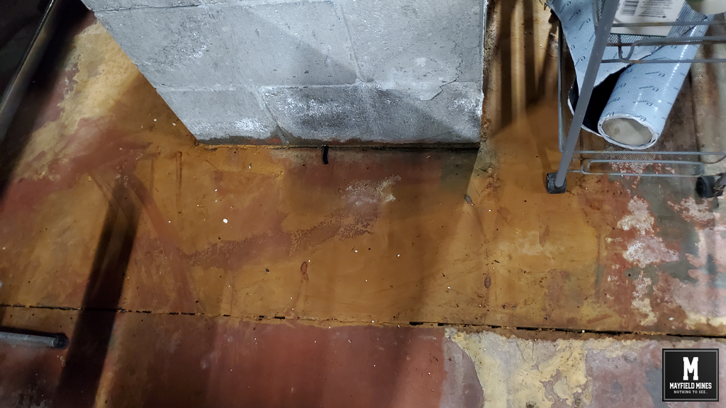
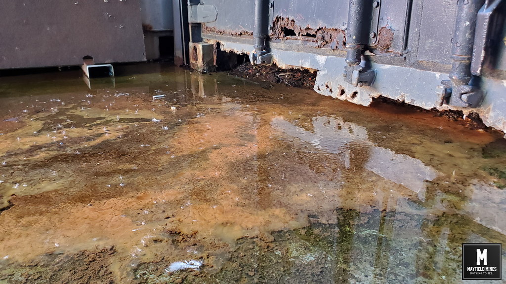
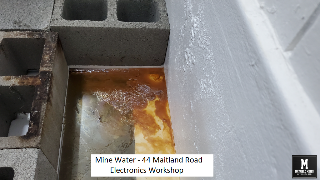
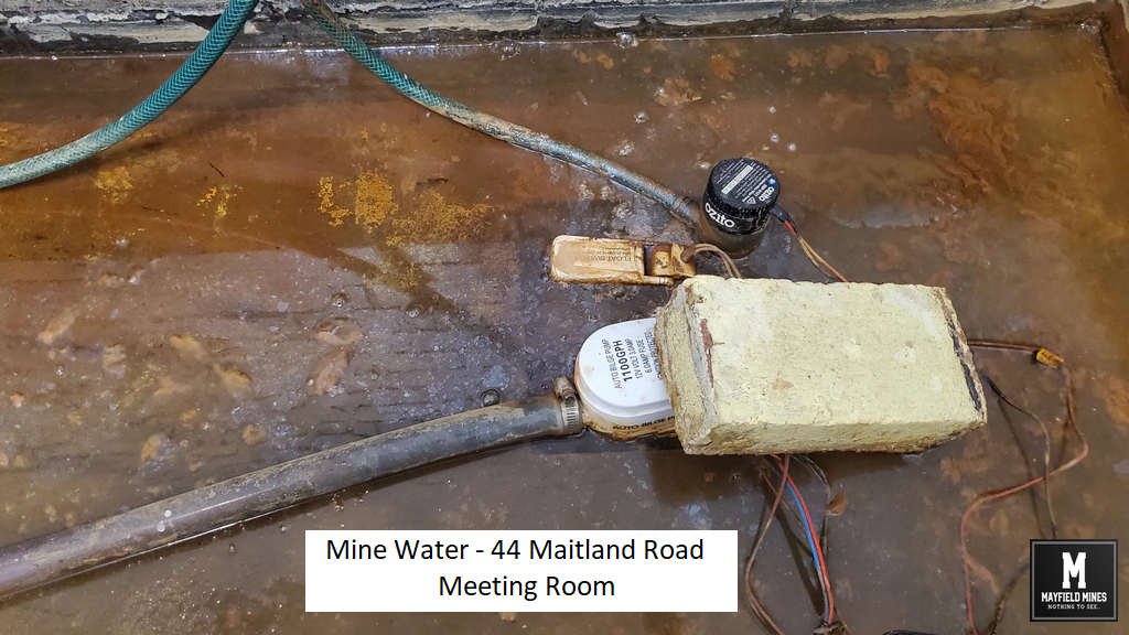
It seems to us that by keeping information secret from the public, Subsidence Advisory does not disclose the true cost of constantly repairing people’s homes, or roads, etc… And there is no public accountability for the costs to keep repairing public roads, sewer, Hunter Water pipes, stormwater etc…. in mine subsidence districts.
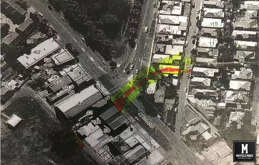
Its our money. Beside the issues on our properties, when we started looking at the overall management of legacy abandoned mines in the Mayfield and Newcastle area, we found a big problem where no agencies talk with each other, and all just handle the very minimum work needed to solve “today’s” problem. So when you look at streets which have 30+ repairs, or the same pipe system being repaired year after year, at what point should one of these government bodies take some responsibility?
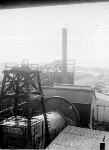
Mine Subsidence Mayfield